Search

Search Results

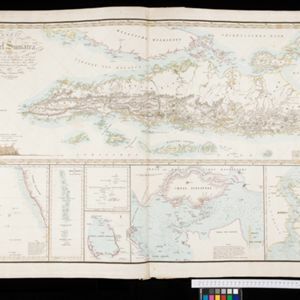
Karte von der Insel Sumatra

event1837

location_onMalaysia, Indonesia, Singapore

Based on surveys by Sir Stamford Raffles, this German map of Sumatra focuses on the navigation of coasts and straits, with bathymetry (sea depth), anchor points, shoals and reefs marked, including on inset maps of Singapore and the Bangka Strait.

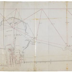
Situatie kaart van een gedeelte der stad Batavia

event1817

location_onIndonesia

Map of the coastline of the bay of Batavia (Jakarta) showing the sand and mud bank and bathymetry (sea depth) in the bay. A plan of part of the city, including the fort, and the surrounding countryside are also included.

Situatie-kaart van een gedeelte der stad Batavia benevens de bank voor de Groote rivier

event1817

location_onIndonesia

Plan of the canals and rivers flowing through the city of Batavia (Jakarta), passing through the port before reaching the pier and the bay. The bay has a sand bank and figures for water depth. There are profile drawings of two of the city’s rivers.

close