Search

Search Results

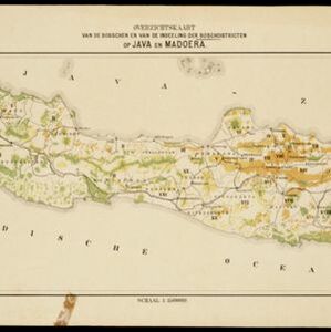
Overzichtskaart van de bosschen en van de indeeling der Boschdistricten op Java en Madoera

event1898

location_onIndonesia

Different types of forest are shown on this late 18th century map of Java and Madura, with the land divided into 21 forest districts. Roads, railways and major settlements are also marked.

Atlas van Nederlandsch Oost-Indië

eventc.1897-1904

location_onIndonesia

Very detailed atlas of the entire Dutch East Indies, over 16 map sheets, with a cover and overview map. Includes topographic maps, inset maps of cities and islands, and maps featuring land and sea routes, languages, geology, colonial territory etc.
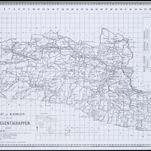
Residentie Preanger Regentschappen

event1894

location_onIndonesia

Large-scale topographic map of the residency of Preanger (West Java) spread over multiple sheets plus a cover sheet of the whole area. It is divided into regencies, departments and districts. Only nine sheets and the cover sheet are available.

Residentie Madoera

event1893

location_onIndonesia

Large-scale topographic map of the residency of Madoera (Madura, off north east coast of Java) spread over multiple sheets plus a cover sheet of the whole area. It is divided into departments and districts. Only 60 out of ~120 sheets are available.

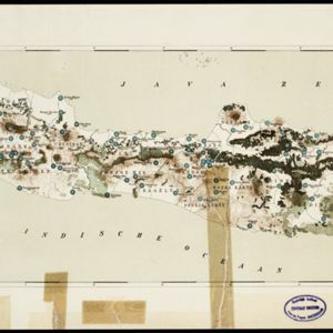
Kaart van den gemiddelden regenval op Java, tevens situatie-schets van de djati- en wildhoutbosschen

event1892

location_onIndonesia

This late 19th century map records the average rainfall at a variety of locations—marked with blue dots—on Java. Three types of forest are also shown: cultivated forest, wild forest under management, and wild forest not under management.
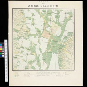
Kaart van Malang en Omstreken

event1882

location_onIndonesia

Map of the city of Malang, Java, featuring the railway station, military camp, hospital, market etc. The surrounding area has villages, rivers and crops: rice (paddy) fields, coffee, alang-alang, bamboo. Red numbers represent height above sea-level.

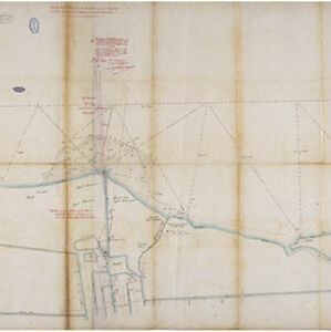
Situatie kaart van een gedeelte der stad Batavia

event1874

location_onIndonesia

Map of the coastline of the bay of Batavia (Jakarta) showing the extension of the port’s pier (in red, labelled CD), the sand and mud bank and bathymetry (sea depth) in the bay, and notes regarding changes in tide levels over the years.

Algemeene Atlas van Nederlandsche Indie

eventc.1853-1862

location_onIndonesia

Atlas featuring over 60 detailed maps of the Dutch East Indies: 24 maps cover Java; the remainder cover the rest of the Dutch East Indies. There are three index maps. (All the maps in this atlas are also presented separately on this platform.)

close

  • Filter from 1853 to 1898

Current results range from 1853 to 1898