Search

Search Results

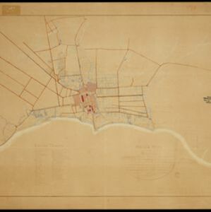
Situatie plan van Batavia met desselfs stranden en ommelanden tot de buiten posten Angiol, Noortwijk, Rijswijk, de Kelling , Ankee en de Fluit

event1898

location_onIndonesia

Plan of the city of Batavia (Jakarta) with its suburbs and surrounding areas. Artillery batteries are marked on the beaches, and there is a detailed legend identifying places on the map. This is a copy of an original 1797 map.

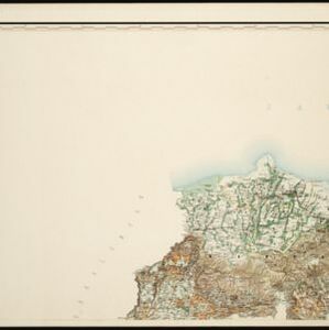
Topographische kaart der residentie Semarang

event1898

location_onIndonesia

The residency of Semarang, Central Java, featuring crops (coffee, rice, bamboo, nipa palm); cemeteries, post offices, railway stations; routes (railway, postal, road, canal), administrative borders; mountains, rivers, forests.

Topographische kaart der residentie Bantam

event1897

location_onIndonesia

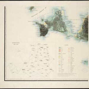
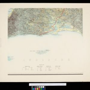
The residency of Bantam, West Java, shown over nine sheets. Coffee and tea plantations, fields of rice, alang-alang, bamboo and other crops are marked. Inset maps show distances by road and path, and the area divided into regencies and districts.

Atlas van Nederlandsch Oost-Indië

eventc.1897-1904

location_onIndonesia

Very detailed atlas of the entire Dutch East Indies, over 16 map sheets, with a cover and overview map. Includes topographic maps, inset maps of cities and islands, and maps featuring land and sea routes, languages, geology, colonial territory etc.

Topographische Kaart der residentie Bantam

event1897

location_onIndonesia

The residency of Bantam, West Java, shown over nine sheets. Coffee and tea plantations, fields of rice, alang-alang, bamboo and other crops are marked. Inset maps show distances by road and path, and the area divided into regencies and districts.

Topographische kaart van de residentie Preanger regentschappen

event1894

location_onIndonesia

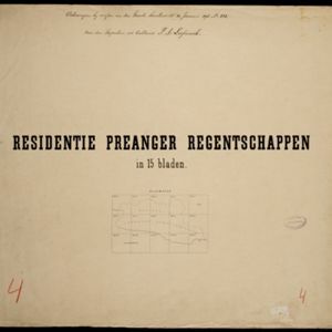
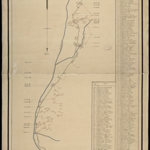
The residency of Preanger (Parahyangan), West Java, with plantations (coconut, coffee, tea, cinchona (‘kina’), betel, teakwood, bamboo) and crops (rice, sugarcane, alang-alang). Two inset maps: a triangulation map, and a map of land route distances.

Schetskaart van de genummerde wondboomen in het bosch Tjibodas

event1893

location_onIndonesia

Hand-drawn map of a forest at Tjibodas, Java, with the positions of some of the trees marked. Each tree has a number that corresponds to a list that gives the tree’s species.

Topographische kaart der residentie Djokjakarta

event1892

location_onIndonesia

The residency of Djokjakarta (Yogyakarta), southern Java, featuring crops (coffee, sugar, rice, alang-alang, tobacco, indigo plants, nipa palm, bamboo); warehouses, cemeteries, post offices; routes, administrative borders; mountains, rivers.

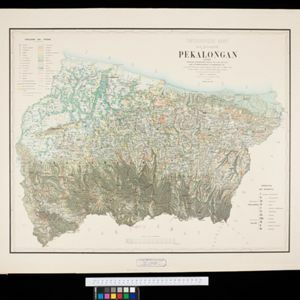
Topographische Kaart der residentie Pekalongan

event1892

location_onIndonesia

Topographic map of the residency of Pekalongan (Central Java), divided into regencies (pink borders) and districts (yellow borders). Mountains, forests, settlements, routes, crops—alang-alang, coffee, sugar, rice—factories and warehouses are shown.

Topographische Kaart van de residentie Banjoemas

event1892

location_onIndonesia

The residency of Banjoemas (Banyumas), Central Java, featuring plantations (bamboo, teakwood, coconut, coffee, cinnamon) and rice; routes (road, postal, railway), administrative borders; mountains, rivers, wetlands, forests.

Topographische kaart der residentie Besoeki

event1888

location_onIndonesia

The residency of Besoeki (Besuki), East Java, featuring crops (rice, alang-alang, bamboo, coconut); fishing ponds; factories, warehouses, businesses; routes, administrative borders; churches, cemeteries, forts, lighthouses; mountains, rivers, lakes.

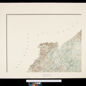
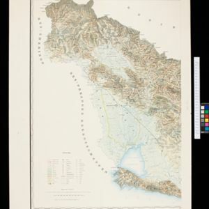
Topographische kaart der residentie Madoera

eventc.1885-1887

location_onIndonesia

Three-sheet topographic map of the residency of Madoera (Madura, East Java), with an inset map of distances between locations. Administrative districts, crops—bamboo, sugarcane, alang-alang, rice, coconut, betel—salt pans and fishing ponds are shown.

close

  • Filter from 1816 to 1898

Current results range from 1816 to 1898