Search

Search Results

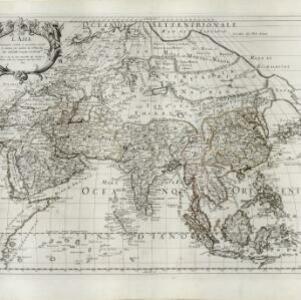
L'Asia

event1677

location_onBrunei, Cambodia, East Timor, Indonesia, Laos, Malaysia, Myanmar, Philippines, Southeast Asia, Singapore, Thailand, Vietnam

From Giovanni Giacomo de Rossi’s ‘Mercurio Geografico’, this 17th century map of Asia represents mountains, jungles and cities pictorially, with hand-coloured regional borders. The map’s cartouche is decorated with clothing and weaponry.

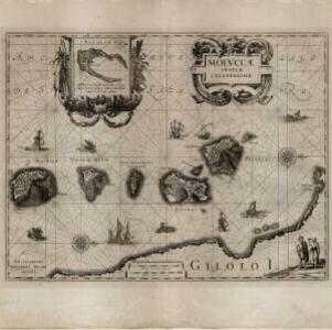
Molvccae insvlae celeberrimae

eventc.1640-1655

location_onIndonesia

This small island chain off the west coast of Gilolo (Halmahera in the Maluku Islands, Indonesia), was an important area for the spice trade. Latin text on the reverse describes the trade/islands. North is located to the right, rather than the top.

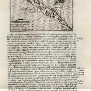
Amboina ad viumu descripta quo tempore Admiarallus Wibrandus Warwicensis cum quatuor nauibus ante eam in achoris staret a 1599 mese martio

event1614

location_onIndonesia

The Latin title of this map refers to an Admiral Wibrand of Warwick, who visited the island of Amboina (Ambon Island in the Maluku Islands) in March 1599.

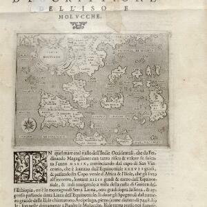
Isole Molvcche

event1605

location_onBrunei, Cambodia, Indonesia, Laos, Malaysia, Philippines, Singapore, Southeast Asia, Thailand, Vietnam, East Timor

This map shows some inaccuracies, especially in the shape of the Malay Peninsula and the islands meant to represent Sumatra (labelled ‘Camatra’), Java (‘Iava Mazor’) and Borneo (‘Iava Menor’). Latin text describes the Maluku Islands.

close

  • Filter from 1605 to 1780

Current results range from 1605 to 1780