Search Results

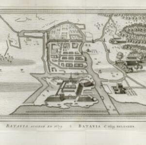
Batavia assiegé en 1629 = Batavia A.o 1629 belegerd
c.1772-1780
Indonesia
This unusual map of Batavia in the late 18th century shows the port city as seen when approaching from the sea. The castle is depicted prominently as a three-dimensional drawing, with the rest of the city behind more flat like a plan.

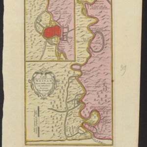
Carte du cours de la Riviere de Meinam: depuis Judia jusqu'à son embouchure
1730
Thailand
Map of the Meinam (Chao Phraya) river from the city of Judia (Ayutthaya) to its mouth near Bangkok. Features temples, villages, a Bishop's Palace, a fort at Bangkok, and a ‘Champ des Eléphans [Elephant Field]’. The text is in French and Dutch.

Carte de l'ile de Java: partie occidentale, partie orientale, dressée tout nouvellement sur les mémoires les plus exacts
1726
Indonesia
The mountains and forests of early 18th century Java are beautifully illustrated here by the Dutch cartographer Henry Abraham Chatelain (1648-1743). Details include cities, fields of crops, animals and people. An inset map shows the port of Batavia.

Carte de l'ile de Java: partie occidentale, partie orientale, dressée tout nouvellement sur les mémoires les plus exacts
1720
Indonesia
The mountains and forests of early 18th century Java are beautifully illustrated here by the Dutch cartographer Henry Abraham Chatelain (1648-1743). Details include cities, fields of crops, animals and people. An inset map shows the port of Batavia.

Carte de l'ile de Java: partie occidentale, partie orientale, dressée tout nouvellement sur les mémoires les plus exacts
1719
Indonesia
The mountains and forests of early 18th century Java are beautifully illustrated here by the Dutch cartographer Henry Abraham Chatelain (1648-1743). Details include cities, fields of crops, animals and people. An inset map shows the port of Batavia.
- Filter from 1719 to 1816
- [remove]Civic/Metropolitan Border9
- District/Administrative Border6
- [remove]Jungle/Wooded Area9
- Mountain/Volcano8
- Wetlands6
- Wild Animals6


