Search

Search Results

Algemeene Atlas van Nederlandsche Indie

eventc.1853-1862

location_onIndonesia

Atlas featuring over 60 detailed maps of the Dutch East Indies: 24 maps cover Java; the remainder cover the rest of the Dutch East Indies. There are three index maps. (All the maps in this atlas are also presented separately on this platform.)

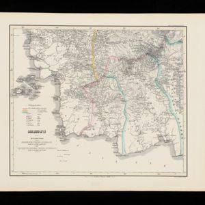
Algemeene Kaart van het Nederlandsch Gebied op het Eiland Borneo: No. II

event1859

location_onIndonesia

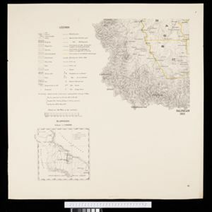
Map of the Dutch colonial administrative regions of southwest Borneo, featuring mountains, rivers and settlements. (One of four sheets covering Borneo from ‘Algemeene Atlas van Nederlandsche Indie [General Atlas of the Dutch East Indies]’.)

Situatie kaart van een gedeelte der stad Batavia

event1874

location_onIndonesia

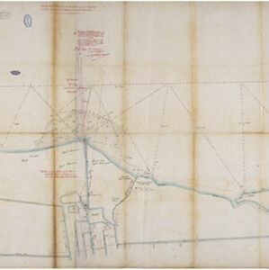
Map of the coastline of the bay of Batavia (Jakarta) showing the extension of the port’s pier (in red, labelled CD), the sand and mud bank and bathymetry (sea depth) in the bay, and notes regarding changes in tide levels over the years.

Schetskaart van het N.W. gedeelte der Residentie Sumatra's Oostkust

event1877

location_onIndonesia

Rivers and crops are the focus of this map of the northeast coast of Sumatra. Forests and wetlands are marked, as are alang-alang, coconut, pepper, nutmeg and tobacco. Roads are shown as suitable for infantry and light artillery, or for horse riding.

Kaart van Malang en Omstreken

event1882

location_onIndonesia

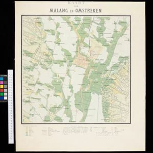
Map of the city of Malang, Java, featuring the railway station, military camp, hospital, market etc. The surrounding area has villages, rivers and crops: rice (paddy) fields, coffee, alang-alang, bamboo. Red numbers represent height above sea-level.

Topographische kaart van het eiland Billiton

event1882

location_onIndonesia

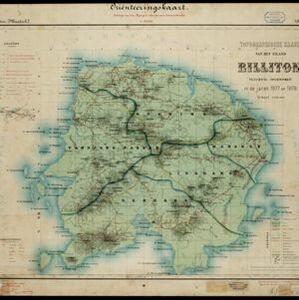
This map of Billiton (Belitung, Indonesia) features details of the island’s mining operations: blue borders divide the island into five mining districts, within which mines are represented by red crosses with an identifying number.

Kaart van het eiland Bawean

event1886

location_onIndonesia

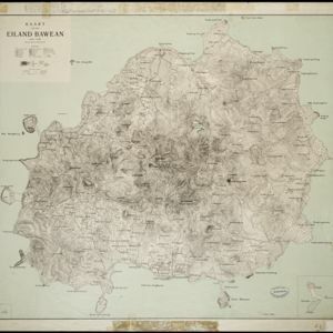
Topographic map of the island of Bawean in the Java Sea, with terrain shown by contour lines, and mountains labelled with their heights. Villages, forests (heavy, light, teakwood) and crops (coconut, coffee, alang-alang, rice, bamboo) are marked.

Kaart van de Afdeeling Deli der residentie Oostkust van Sumatra

event1887

location_onIndonesia

A map of the department of Deli, Java, divided into administrative districts, and spread over eight sheets. Rivers, railways, roads and paths, forests and mountains, and crops—rice, coconut, pepper, nutmeg, alang-alang—are marked.

Kaart van het Zuidwestelijk gedeelte van het landschap Mampawah, residentie Wester-afdeeling van Borneo

event1887

location_onIndonesia

Map of the crops—coconut, alang-alang, rice, nipa palm, bamboo—grown along the Mempawah River (west coast of Borneo). There are also large areas of swampy forest, Malay mosques, shrines and graveyards, and Chinese villages, temples and graveyards.

Kaart van den vierkanten paal gouvernements grondgebied te Ngabang

event1888

location_onIndonesia

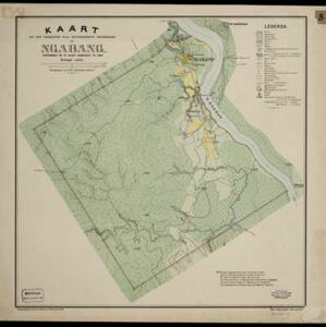
Map of the town of Ngabang, on the Landak River, Borneo and the surrounding forest and mountains. Around the town are cemeteries, a well, a jail and a Chinese temple. Bamboo, coconut trees, fishing ponds and fields (including alang-alang) are marked.

Kaart van den vierkanten paal (I en II) gouvernements grondgebied te Sintang

event1888

location_onIndonesia

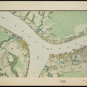
The Kapoewas (Kapuas) and Melawi rivers converge on this map of the town of Sintang, Borneo. The town lines the river banks, and is surrounded by fields, forest and marshland. Arrows on the rivers mark the direction of their flow.

Kaart van Sintang en omstreken

event1888

location_onIndonesia

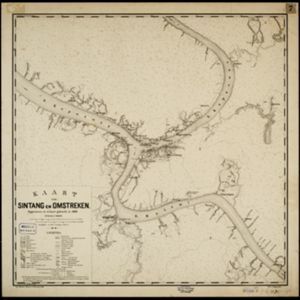
The Kapoewas (Kapuas) and Melawi rivers converge on this map of the town of Sintang, Borneo. The town lines the river banks, surrounded by forest, wetlands, fields, bamboo, and coconut trees. Arrows on the rivers mark the direction of their flow.

close