Search
Refine your results
- Filter from 1805 to 1893
Current results range from 1805 to 1893
Location
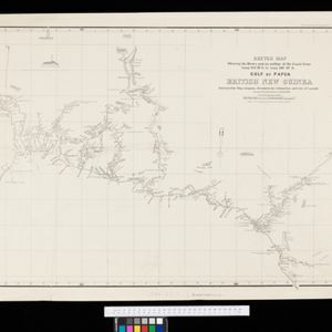
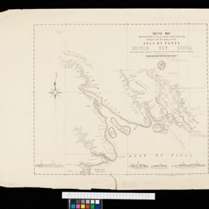
- check_box_outline_blankBritish New Guinea3
- check_box_outline_blankDutch East Indies3
- check_box_outline_blankNew Guinea3
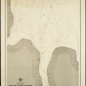
- check_box_outline_blankBatavia2
- check_box_outline_blankGeorge Town2
- check_box_outline_blankGroote Rivier2
- check_box_outline_blankGulf of Papua2
- check_box_outline_blankJakarta2
- check_box_outline_blankJava2
- check_box_outline_blankKali Besar2
- check_box_outline_blankMalay Peninsula2
- check_box_outline_blankPenang2
- more Detailed Location »

