Search

Search Results

Algemeene Kaart van Nederlandsch Oostindie

event1842

location_onEast Timor, Indonesia, Malaysia, Singapore

Algemeene Atlas van Nederlandsche Indie

eventc.1853-1862

location_onIndonesia

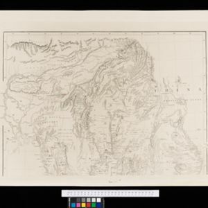
New map of Burma and the regions adjacent

event1857

location_onMyanmar, Thailand

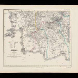
Algemeene Kaart van het Nederlandsch Gebied op het Eiland Borneo: No. II

event1859

location_onIndonesia

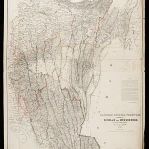
Eastern British frontier bordering on Burmah and Munneepoor

event1871

location_onMyanmar

Map of Burmah, and adjacent countries

event1875

location_onMyanmar, Thailand

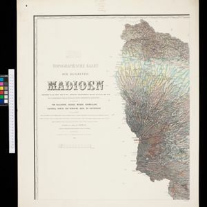
Topographische kaart der residentie Madioen

event1878

location_onIndonesia

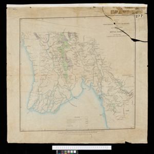
Sketch map showing forest reserves (sanctioned and proposed) in the Pegu and Tenasserim Divisions of British Burma

event1881

location_onMyanmar

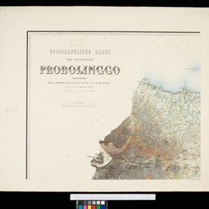
Topographische Kaart der residentie Probolinggo

event1885

location_onIndonesia

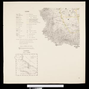
Kaart van de Afdeeling Deli der residentie Oostkust van Sumatra

event1887

location_onIndonesia

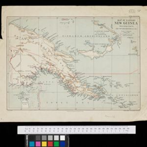
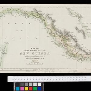
Map of South Eastern part of New Guinea: to illustrate the explorations of Rev. J. Chalmers, L.M.S.

event1887

location_onPapua New Guinea

Upper Burma: Preliminary map 1887

event1887

location_onMyanmar

close

  • Filter from 1842 to 1898

Current results range from 1842 to 1898