Search Results
Filter
Land Features
Jungle/Wooded Area
Remove constraint Land Features: Jungle/Wooded Area
Political Regions
Regional Border
Remove constraint Political Regions: Regional Border
Political Regions
District/Administrative Border
Remove constraint Political Regions: District/Administrative Border
3 Results found

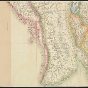
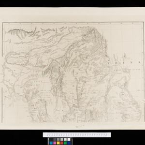
Map of the Eastern Frontier of British India, with the adjacent countries
1838
Myanmar, Thailand
Regional and local borders are colour-coded, with mountains and rivers, settlements, paths/roads and names of local peoples marked. Notes such as ‘Gold dust found in these streams’ and ‘Rich in Tin’ add detail. Only two of four sheets are available.

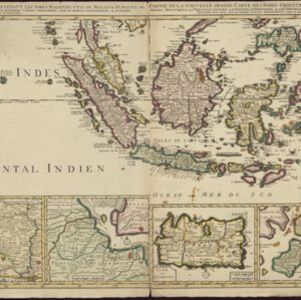
Partie de la nouvelle grande carte des Indes Orientales, contenant les isles Maldives, Ceylan, Malacca, Sumatra... les isles de Borneo, Iava, Celebes, Mindanao
c.1750
Brunei, East Timor, Indonesia, Malaysia, Papua New Guinea, Philippines, Singapore
Map of maritime Southeast Asia, with four inset maps of locations in the region: Surabaya, some of the Lesser Sumba Islands, and Buton and Muna islands of the coast of Sulawesi. Mountains, forests, settlements and fields are represented pictorially.
- [remove]District/Administrative Border3
- [remove]Regional Border3
- Colonial Possessions1
- [remove]Jungle/Wooded Area3
- Mountain/Volcano3


