Search

Search Results

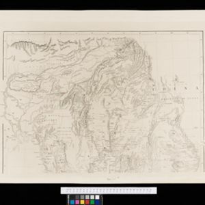
Map of Burmah, and adjacent countries

event1875

location_onMyanmar, Thailand

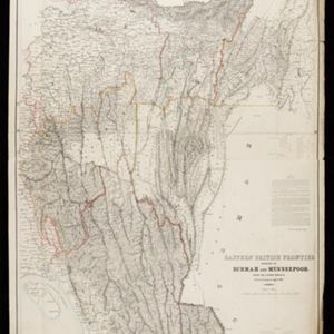
Eastern British frontier bordering on Burmah and Munneepoor

event1871

location_onMyanmar

Military cantonments: town and suburbs of Akyab, 1853-54

event1866

location_onMyanmar

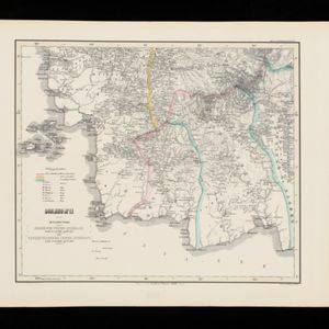
Algemeene Kaart van het Nederlandsch Gebied op het Eiland Borneo: No. II

event1859

location_onIndonesia

New map of Burma and the regions adjacent

event1857

location_onMyanmar, Thailand

Algemeene Atlas van Nederlandsche Indie

eventc.1853-1862

location_onIndonesia

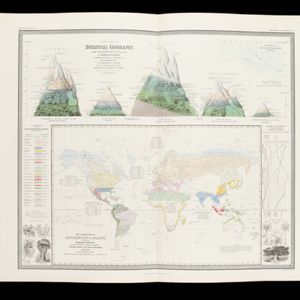
The geographical distribution of plants according to Humboldt's statistics of the principal families and groups: Schouw's twenty five phyto-geographic regions, and the distribution of the family of palms and the genera Pinus (pine) & Erica (heath)

event1849

location_onBrunei, Cambodia, East Timor, Indonesia, Laos, Malaysia, Myanmar, Papua New Guinea, Philippines, Singapore, Southeast Asia, Thailand, Vietnam

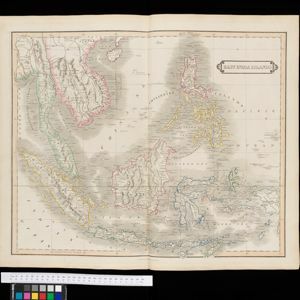
East India Islands

eventc.1844-1846

location_onBrunei, Cambodia, East Timor, Indonesia, Laos, Malaysia, Myanmar, Philippines, Singapore, Southeast Asia, Thailand, Vietnam
Algemeene Kaart van Nederlandsch Oostindie

event1842

location_onEast Timor, Indonesia, Malaysia, Singapore

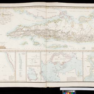
Karte von der Insel Sumatra

event1837

location_onMalaysia, Indonesia, Singapore

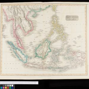
East India Isles

event1829

location_onBrunei, Cambodia, East Timor, Indonesia, Laos, Malaysia, Myanmar, Vietnam, Thailand, Southeast Asia, Singapore, Philippines

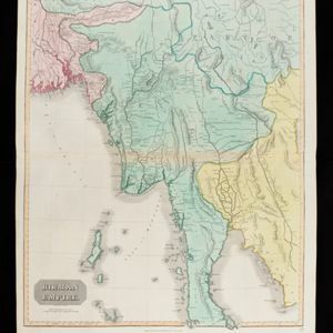
Birman Empire

event1829

location_onMyanmar, Thailand, Laos, Vietnam, Cambodia

close

  • Filter from 1676 to 1900

Current results range from 1676 to 1900