Search Results
279 Results found
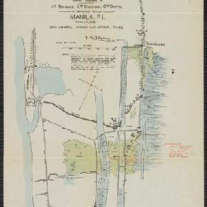
Sketch showing positions of 1st Brigade, 2nd Division, 8th Corps, in operations against Manila
1900
Philippines
Created by the U.S. Army, this map of a small area south of Manila records Spanish and American trenches and troop and gun locations on the last day of the Spanish–American War (13 August 1898). Ground conditions (swamps, jungle, fields) are noted.
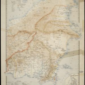
Kaart der residentie Zuider- en Ooster-afdeeling van Borneo
1899
Indonesia
On this map, the residency of South and East Borneo is divided into departments (green borders) and provinces (yellow borders). There is an inset plan of the city of Banjarmasin, with rivers, buildings, residential areas, roads and crops marked.

Kaart van het gebied bezet in Groot-Atjèh
1898
Indonesia
A six-sheet map of Groot-Atjèh (Aceh, northern Sumatra) focusing on areas occupied during the Aceh War (1873–1904) between the Sultanate of Aceh and Dutch colonists. It shows military positions and fortifications, buildings, routes and crops.
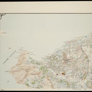
Kaart van het gebied bezet in Groot-Atjèh
1898
Indonesia
A large-scale map of Groot-Atjceh, northern Sumatra, spread over six sheets, and featuring details such as routes, crops (rice, banana, sugarcane, alang-alang, bamboo), mountains and wetlands, and settlements (city of Kota Radja (modern Banda Aceh)).

Map of the Island of Singapore and its dependencies
1898
Singapore
Map of Singapore Island, divided into Districts, including the surrounding islands and straits. The city centre, roads and forests are marked. MacRitchie Reservoir is at the centre of the island, with coconut plantations along the east coast.
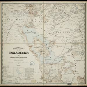
Schetskaart van het Toba-meer en aangrenzende landstreken
1898
Indonesia
Map of Lake Toba and the surrounding area in northern Sumatra, featuring mountains, forests, types of terrain (undergrowth, field, grass), rivers, roads and settlements. There is an inset map that shows the other maps referenced in producing the map.
- Filter from 1547 to 1900
- [remove]Jungle/Wooded Area279
- Mountain/Volcano245
- Wetlands112
- Wild Animals37
- Mangrove12

