Search

Search Results

Atlas van Nederlandsch Oost-Indië

eventc.1897-1904

location_onIndonesia

Singapore: Plan of harbour and roadstead

event1885

location_onSingapore

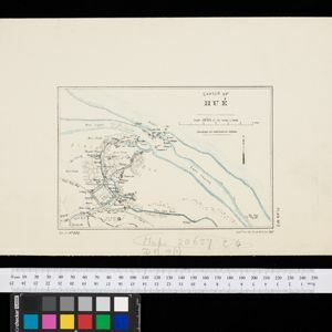
Sketch of Hué

event1885

location_onVietnam

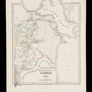
Kaart van de Oosterhelft der Residentie Palembang

event1860

location_onIndonesia

Map of Prince of Wales' Island or Pulo Penang and province Wellesley

event1853

location_onMalaysia

Algemeene Kaart van Nederlandsch Oostindie

event1842

location_onEast Timor, Indonesia, Malaysia, Singapore

Algemeene kaart van Nederlandsch Oostindie

eventc.1839-1855

location_onEast Timor, Indonesia, Malaysia, Singapore

Map of the River of Don-nai from Cape St. James to the city of Saigon

event1820

location_onVietnam

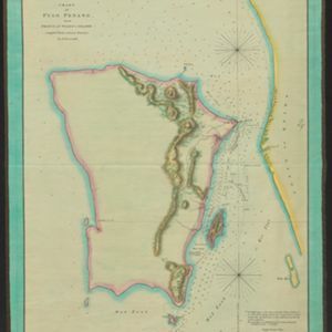
Chart of Pulo Penang: now Prince of Wales's Island

event1805

location_onMalaysia

Chart of Pulo Penang: now Prince of Wales's Island

event1805

location_onMalaysia

Plan of the road and city of Batavia on the north coast of Java Island

event1790

location_onIndonesia

Plan of the road and city of Batavia on the north coast of Java Island

event1790

location_onIndonesia

close