Search

Search Results

Java

event1894

location_onIndonesia

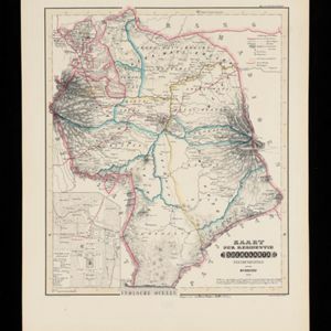
This detailed late 19th century map shows Java divided into regencies, and features mountains, land and sea routes, and an inset map of the port city of Batavia (Jakarta). It was designed to be folded within book covers so it could be easily carried.

Java

event1890

location_onIndonesia

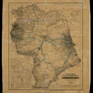
This detailed late 19th century map shows Java divided into regencies, and features mountains, roads, railways, and rivers. There is also an inset map of the port city of Batavia (Jakarta).

Nederlandsch Oost-Indië

event1865

location_onBrunei, Cambodia, East Timor, Indonesia, Laos, Malaysia, Myanmar, Vietnam, Thailand, Southeast Asia, Singapore, Philippines, Papua New Guinea

This detailed map of the Dutch East Indies in the mid-19th century contains a great deal of information: topographical details, settlements and administrative areas, roads, railways and maritime routes, telegraph lines, inset maps etc.
Kaart der Residentie Soerakarta

event1859

location_onIndonesia

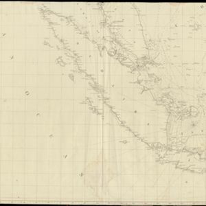
Map of the Dutch colonial administrative region (residency) of Soerakarta (Surakarta, Java). Inset map of Surakarta city, with a military fort and two palaces. (From ‘Algemeene Atlas van Nederlandsche Indie [General Atlas of the Dutch East Indies]’.)

Kaart der residentie Soerakarta

event1859

location_onIndonesia

The residency of Soerakarta in Central Java is shown divided into regencies (yellow borders) and districts (blue borders). There is an inset plan of the capital city, Soerakarta (modern Surakarta), and mountains and land routes are marked.

[Sumatra and the Strait of Malacca]

eventc.1800

location_onMalaysia, Singapore, Indonesia

Chart of maritime Southeast Asia, showing bathymetry (sea depth), islands, shoals, reefs, landmarks, and notes (‘Rock seen at Low Water’), all to aid navigation. A rhumbline network has been drawn on the map in pencil. Only one sheet is present.

Ware affbeeldinge wegens het casteel ende stadt Batavia gelegen opt groot eylant Java anno 1669

event1670

location_onIndonesia

A plan of the important port of Batavia (Jakarta), with the fort, river, city streets and fields. Decorative illustrations include ships in the harbour, a view of the city and mountains, and the city’s coat of arms: a lion holding a sword and shield.

Baly

event1616

location_onIndonesia

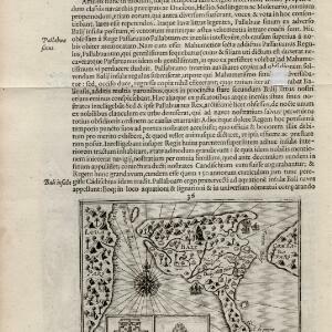
This early 17th century map of the island of Bali shows palaces, settlements and possibly some temples. Ships can be seen at anchor around the coast. The map is from a Latin language book which includes text describing Bali.

close