Search

Search Results

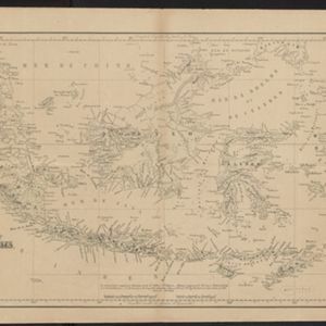
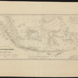
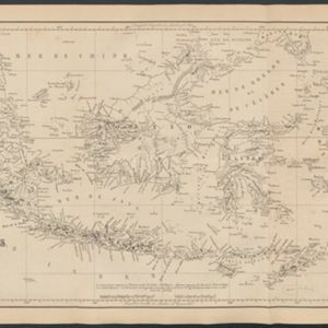
Carte générale des possessions néerlandaises aux Indes orientales

event1846

location_onBrunei, East Timor, Indonesia, Malaysia, Philippines, Singapore

Map of the Asian colonial possessions of the Netherlands (Dutch East Indies), with an inset of the heights of some of the region’s mountains. A note describes the average temperature, barometer reading and magnetic declination in Batavia at the time.
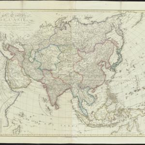
Carte generale de l'Asie: où se trouvent les découvertes faites par Bougainville, Dampier et La Pérouse

event1833

location_onBrunei, Cambodia, East Timor, Indonesia, Laos, Malaysia, Myanmar, Papua New Guinea, Philippines, Singapore, Southeast Asia, Thailand, Vietnam

This map of Asia is marked with the routes taken through Southeast Asia by the British Royal Navy captain James Cook, and the French explorer Lapérouse. The title also refers to two other explorers: Louis Antoine de Bougainville and William Dampier.

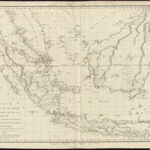
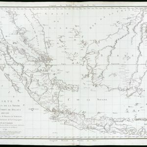
Carte des Isles de la Sonde et du Détroit de Malaca

event1791

location_onBrunei, Indonesia, Malaysia, Singapore

Map based on the expeditions of Jean-François de Surville, a merchant captain with the French East India Company. Some details are from the diary of the French Navy officer Théobald René, Comte de Kergariou-Locmaria, who explored the region in 1785.

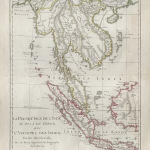
La Presqu'isle de l'Inde au delà du Gange, avec l'Archipel des Indes. Partie occidentale

event1785

location_onBrunei, Cambodia, Indonesia, Laos, Malaysia, Myanmar, Singapore, Thailand, Vietnam

In the 18th century, European maps tended to use their own country’s meridian, so on this French map of Southeast Asia longitude is measured from the Paris Meridian. Eleven different scales are also shown.

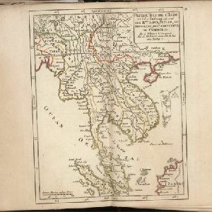
Presqu'Isle de l'Inde au dela du Gange, ou sont les Rmes. d'Ava, de Siam, de Tong-King, de Cochinchine, de Camboge &c.

eventc.1770-1779

location_onBrunei, Cambodia, Indonesia, Laos, Malaysia, Myanmar, Singapore, Thailand, Vietnam

On this late 18th century map, the modern nation states of mainland Southeast Asia can be seen emerging: Myanmar (here labelled Ava), Laos, Vietnam (Tong-King and Cochinchine), Cambodia (Camboge), Thailand (Siam) and Malaysia (Malaca).

close