Search

Search Results

Description de la coste septentrionale de Noua Guinea

event1618

location_onIndonesia

The north coast of New Guinea is mapped here as it was discovered by the Dutch explorer Willem Corneliszoon Schouten. He is named on the map as Guillaume Schouten de Hoorn, known as the first to sail from Europe to the Pacific Ocean via Cape Horn.

[Sumatra]

event1581

location_onIndonesia

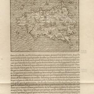
This early map of Sumatra—referred to in the accompanying French text as ‘Isle de la Taprobane’—is covered with illustrations of people working on the land, and with elephants and camels. Villages, mountains, rivers and wild animals are also shown.

Asie

event1575

location_onBrunei, Cambodia, East Timor, Indonesia, Laos, Malaysia, Myanmar, Philippines, Singapore, Southeast Asia, Thailand, Vietnam

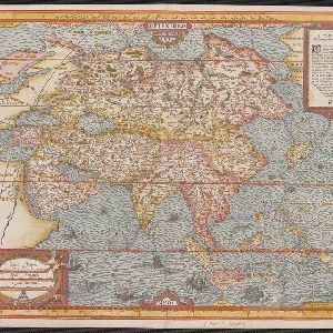
A colourful 16th century map by André Thevet, with illustrations of ships and sea monsters around the seas of Southeast Asia. The map's scale is decorated with cartography tools such as rulers and a compass.

close