Search Results

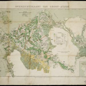
Overzichtskaart van Groot-Atjeh en aangrenzende kuststaten
1898
Indonesia
Map of Groot-Atjeh (Aceh, Sumatra), focusing on the area around the capital Kota Radja (Banda Aceh) and along the coasts. There is a list of telephone connections in the area, and an inset map of the region divided into administrative districts.

Westkust Celebes: Vaarwaters benoorden Makasser: Blad I
1898
Indonesia
Navigation map of the west coast of Celebes (Sulawesi), north of Makassar. Bathymetry (sea depth), lighthouses, shoals and other obstructions are marked, with trees and hills as landmarks, and elevations (side views of hills) to aid navigation.

Kaart de residentie Wester-afdeeling van Borneo
1898
Indonesia
Topographical map of western Borneo, with inset maps of the islands off the west coast, and of the city of Pontianak including the docks and crops grown near the city (rice, coconut, mangosteen, sago, alang-alang, indigo plant, sugarcane, bamboo).

Atlas van Nederlandsch Oost-Indië
c.1897-1904
Indonesia
Very detailed atlas of the entire Dutch East Indies, over 16 map sheets, with a cover and overview map. Includes topographic maps, inset maps of cities and islands, and maps featuring land and sea routes, languages, geology, colonial territory etc.

Topographische kaart van het eiland Billiton: vluchtig opgenomen in de jaren 1877-1878
1894
Indonesia
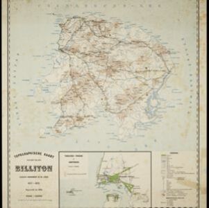
This map of the island of Billiton (Belitung, Indonesia) features mountains, rivers, railways, roads, settlements, coconut plantations and administrative borders. An inset map shows the island’s port and capital city Tanjung Pandan.

[Verzamelkaart van door uitbarsting en vloedgolf verwoeste gebieden]
1883
Indonesia
Nine maps of the effects of the 1883 Krakatoa volcanic eruption, including on Rakata Island itself, and Calmeyer Island (formed by the eruption). Other maps use brown shading to show the flooding of nearby islands and settlements by ensuing tsunamis.
- Filter from 1700 to 1898
- [remove]Dutch East Indies27
- Java18
- Sumatra14
- Batavia11
- Borneo11
- Celebes11
- Sulawesi11
- Jakarta10
- Madura8
- Western New Guinea8
- Maluku Islands7
- South China Sea7
- more Detailed Location »
- [remove]Mountain/Volcano27
- Wetlands18
- Jungle/Wooded Area11


