Search

Search Results

Burma with parts of India, China and Siam

event1888

location_onMyanmar, Laos, Thailand

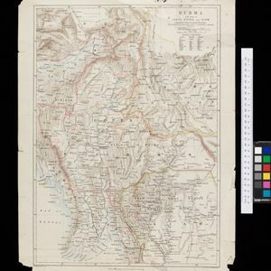
Map of Burma used as advertising by a clothing shop in Rangoon (Yangon, Myanmar). There is a calendar with each day marked with an historic event. The map is labelled with indigenous peoples (uppercase red text) and products of each area.

India, Burmah and the adjacent parts of Beluchistan, Afghanistan, Turkestan, the Chinese Empire, and Siam

event1887

location_onMyanmar, Thailand, Malaysia, Indonesia

British Burma is shown on the right of this two-sheet map of India. The green areas had come under British rule after the first and second Anglo-Burmese wars, with Upper Burma (light brown) being incorporated after the Third Anglo-Burmese War (1885).

Burma: with parts of India, China, and Siam

event1886

location_onMyanmar, Laos, Thailand

Map of Burma labelled with indigenous peoples (uppercase red text) and products (salt, copper, tea, rubies, coal, rubber, petroleum, marble, jade, silver) of each area. It also marks two journeys by the explorer J. Annan Bryce, and proposed railways.

The Island of Ceylon / Burmah, Siam and Anam

event1870

location_onMyanmar, Laos, Cambodia, Thailand, Vietnam, Malaysia

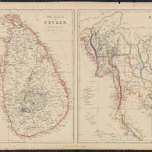
This map of mainland Southeast Asia has colour-coded borders: Burmah (Myanmar) in red, Siam (Thailand) in brown, and Anam (Vietnam) in green. The British territory of Penang is also bordered in red. Independent areas are bordered in grey.

Birman Empire

event1829

location_onMyanmar, Thailand, Laos, Vietnam, Cambodia

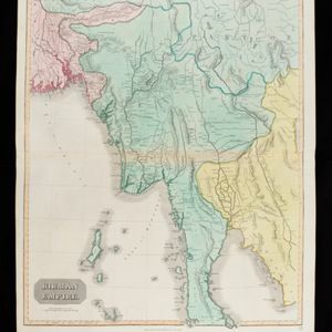
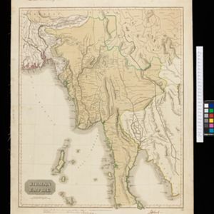
This map of the Burman Empire (Myanmar) features mountains, forests and rivers, as well as borders with Siam (Thailand) and Laos. Text notes how far up rivers boats can reach (‘Boats reach hither from the Sea’), ruby mines and rice fields.

Das Kaiserthum Birma nebst Assam

event1825

location_onMyanmar, Malaysia, Thailand

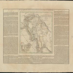
Map of the Birman Empire and Assam (modern Myanmar) with detailed text describing the region’s geography, culture, population, religion, government and history. There is an inset map highlighting Burmese islands off the coast of the Malay Peninsula.

Birman Empire

event1824

location_onCambodia, Myanmar, Thailand, Vietnam, Laos

This map of the Burman Empire (Myanmar) features mountains, forests and rivers, as well as borders with Siam (Thailand) and Laos. Text notes how far up rivers boats can reach (‘Boats reach hither from the Sea’), ruby mines and rice fields.

close