Search

Search Results

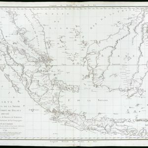
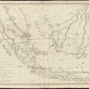
Carte des Isles de la Sonde et du Détroit de Malaca

event1791

location_onBrunei, Indonesia, Malaysia, Singapore

Map based on the expeditions of Jean-François de Surville, a merchant captain with the French East India Company. Some details are from the diary of the French Navy officer Théobald René, Comte de Kergariou-Locmaria, who explored the region in 1785.

A general chart of the Atlantic and Indian oceans, with the situation & plan of Pulo Peenang or Price of Wales's Island / Plan of the Strait within Poolo Pinang

event1788

location_onMalaysia, East Timor, Indonesia, Papua New Guinea, Singapore

Two maps. One features most of the world, but with Borneo, Philippines and most of mainland Southeast Asia missing, though there is an inset map of Penang. The other is a navigation map of the strait at Penang, with bathymetry and elevations.

Straat Sincapura

eventc.1650

location_onSingapore, Indonesia

Hand-drawn map of the Singapore Strait, with Singapore above (green coastline) and the Riau Archipelago below. Bathymetry (sea depth), shoals and reefs are marked. Two mountains at the eastern end of the strait are shown in profile as landmarks.

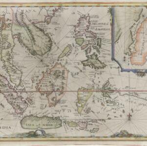
Mar di India

event1644

location_onBrunei, Cambodia, East Timor, Indonesia, Laos, Malaysia, Myanmar, Philippines, Singapore, Southeast Asia, Thailand, Vietnam

This mid-17th century map of Southeast Asia is from Isaac Commelin’s book describing the voyages of the Dutch East India Company ‘Begin ende voortgangh…’. There is an inset map of the island of Botton (Buton Island, southeast of Celebes (Sulawesi)).

close