Search

Search Results

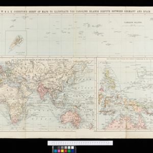
W. & A.K. Johnston's sheet of maps to illustrate the Caroline islands dispute between Germany and Spain

event1885

location_onSoutheast Asia, Papua New Guinea, Indonesia, Philippines, Malaysia, East Timor

Three maps of the Caroline Islands. One shows colonised areas in Southeast Asia: Dutch East Indies; British North Borneo, British New Guinea; German New Guinea; Philippines (Spain); Portuguese Timor. The route of the Challenger expedition is marked.

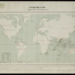
Wereldkaart volgens Mercator's projectie

event1883

location_onBrunei, Cambodia, East Timor, Indonesia, Laos, Malaysia, Myanmar, Papua New Guinea, Philippines, Singapore, Southeast Asia, Thailand, Vietnam

A map charting the effects of the 1883 Krakatoa volcanic eruption: a red circle where the eruption was heard; black lines showing the hourly spread of the resulting waves; and a list of ships on which ash fell, or that encountered pumice (with date).

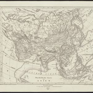
Physikalische Karte von Asien

event1881

location_onBrunei, Cambodia, East Timor, Indonesia, Laos, Malaysia, Myanmar, Philippines, Singapore, Southeast Asia, Thailand, Vietnam

Crops are marked on this map of Asia: Sumatra and Java have sugar, coffee, tea; the Lesser Sunda Islands and Maluku Islands have cinnamon, nutmeg and clove; mainland Southeast Asia has sugar and cotton. Arrows on the sea indicate currents.

close

  • Filter from 1881 to 1885

Current results range from 1881 to 1885