Search

Search Results

Carta general (en dos hojas) del Archipiélago Filipino

event1900

location_onPhilippines

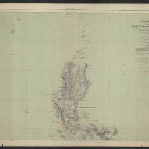
A Spanish military map of the northern Philippine island of Luzon, highlighting cable and telegraph lines, and aids to maritime navigation such as bathymetry (sea depth) and tide data. A conversion table for metres, fathoms and feet is also shown.

Philippine Islands

event1899

location_onPhilippines

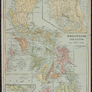
Mountains and rivers are the main land features on this map of the Philippines. Steamship routes from Hong Kong, Singapore and New York arrive at Manila. An inset map of Manila Province shows locations of the Philippine–American War (1899–1902).

Handelskaart van Java en Madoera

event1898

location_onIndonesia

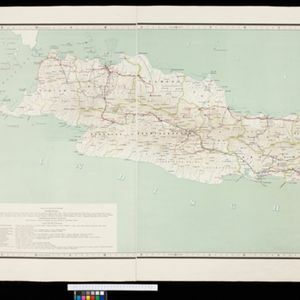
Map of Java and Madura showing routes, especially for trading purposes, including railways, tramways, roads, ports for steamship services, harbours for different types of imports and exports. A list of train and tram routes is included.

Atlas van Nederlandsch Oost-Indië

eventc.1897-1904

location_onIndonesia

Very detailed atlas of the entire Dutch East Indies, over 16 map sheets, with a cover and overview map. Includes topographic maps, inset maps of cities and islands, and maps featuring land and sea routes, languages, geology, colonial territory etc.

Soematra, Bangka en de Riouw-Lingga Archipel

event1897

location_onMalaysia, Indonesia, Singapore, Myanmar

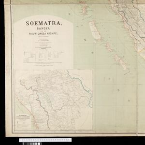
Map of Sumatra and surrounding islands, with residencies—administrative districts—shown by coloured borders. There are inset maps of two residencies surrounding Padang, and of Groot-Atjeh (Aceh). Rivers, railways, roads and settlements are marked.

Kaart van de residentie Banka

event1896

location_onIndonesia

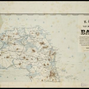
Map of the island and residency of Bangka, divided into districts and sub-districts, and featuring mountains, rivers, wetlands, and settlements. The surrounding seas are marked with buoys, depth lines, anchor points, shoals and reefs.

Sketch map of the Malay States, Kelantan and Trengganu, to illustrate the Paper by Hugh Clifford

event1896

location_onMalaysia

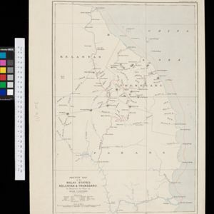
Map of the east coast of the Malay Peninsula, showing the route taken along the rivers and coast by Hugh Clifford, who was the British Resident at Pahang at the time. In addition to rivers, significant mountains and settlements are marked.

Java

event1894

location_onIndonesia

This detailed late 19th century map shows Java divided into regencies, and features mountains, land and sea routes, and an inset map of the port city of Batavia (Jakarta). It was designed to be folded within book covers so it could be easily carried.

New sketch map of the protected Malay State of Perak

event1892

location_onMalaysia

Map of state of Perak (Malay Peninsula) with a table of statistics: area, population, road/railway/river lengths, revenue, tin exports. Straits Settlements highlighted red. Someone has added handwritten travel times/distances by steamer/road/train.

Kaart der Bataklanden en van het eiland Nijas

event1890

location_onIndonesia

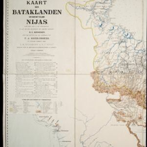
A large-scale map of northern Sumatra, spread over 16 sheets, and divided into administrative regions. The island of Nijas (Nias) is marked with the locations of local tribes, and there is a list of other maps referenced in producing the map.

Reduzirte Karte von den Philippinen und den Sulu Inseln

event1884

location_onPhilippines, Malaysia, Indonesia

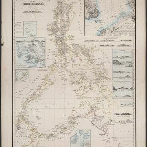
Maritime map of the Philippines, with inset maps of bays showing bathymetry (sea depth), shoals, reefs and anchor points. There is also an inset map of Taal Volcano, and elevations (side views of terrestrial landmarks like mountains and islands).

close