Search
Refine your results
- check_box[remove]Bodleian Libraries, University of Oxford8
- Filter from 1853 to 1897
Current results range from 1853 to 1897
Location
- check_box_outline_blankPapua New Guinea4
- check_box_outline_blankMalaysia3
- check_box_outline_blankIndonesia2
- check_box_outline_blankMyanmar2
- check_box_outline_blankThailand2
- check_box_outline_blankCambodia1
- check_box_outline_blankEast Timor1
- check_box_outline_blankPhilippines1
- check_box_outline_blankSingapore1
- check_box_outline_blankVietnam1
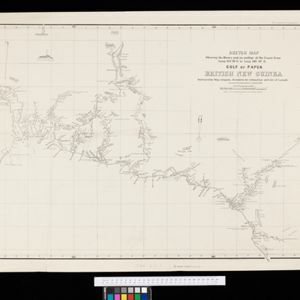
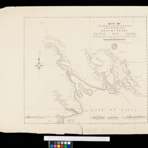
- check_box_outline_blankBritish New Guinea3
- check_box_outline_blankNew Guinea3
- check_box_outline_blankBorneo2
- check_box_outline_blankGulf of Papua2
- check_box_outline_blankMalay Peninsula2
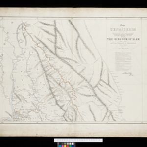
- check_box_outline_blankSiam2
- check_box_outline_blankArracan1
- check_box_outline_blankAuro River1
- check_box_outline_blankBritish North Borneo1
- check_box_outline_blankCamboja1
- check_box_outline_blankCelebes1
- check_box_outline_blankChina Sea1
- more Detailed Location »
Land Use
Land and Sea Routes
Cultural and Political Regions
Environmental Features
Insets and Attributes
Map Production Details
- check_box_outline_blankSurveyor General's Office, Brisbane2
- check_box_outline_blankAlgar & Street1
- check_box_outline_blankCharles Wilson1
- check_box_outline_blankGovernment Engraving & Lithographic Office, Brisbane1
- check_box_outline_blankJ.W. Norie & Co.1
- check_box_outline_blankJ.W. Norie & Wilson1
- check_box_outline_blankJones & Co Litho.1
- check_box_outline_blankStraits Times Office1
- more Printer/Publisher »

