Search

Search Results

Atlas van Nederlandsch Oost-Indië

eventc.1897-1904

location_onIndonesia

Very detailed atlas of the entire Dutch East Indies, over 16 map sheets, with a cover and overview map. Includes topographic maps, inset maps of cities and islands, and maps featuring land and sea routes, languages, geology, colonial territory etc.

City of Mandalay and environs

event1894

location_onMyanmar

Map of the Burmese city of Mandalay on the Irrawaddy River. The city has a grid of roads and buildings, dominated by Fort Dufferin (formerly Mandalay Palace). The surrounding country has villages, crops, agricultural ponds and irrigation channels.

Java

event1890

location_onIndonesia

This detailed late 19th century map shows Java divided into regencies, and features mountains, roads, railways, and rivers. There is also an inset map of the port city of Batavia (Jakarta).

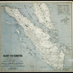
Kaart van Sumatra

event1872

location_onIndonesia, Malaysia

A map of the administrative divisions of Sumatra and the Malay Peninsula. The mountains of western Sumatra and the central Malay Peninsula are represented by hachures: short lines/dashes that give a sense of the shape and steepness of terrain.

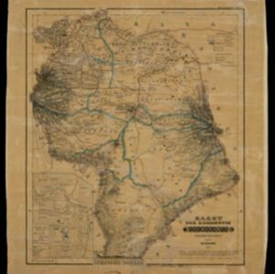
Kaart der residentie Soerakarta

event1859

location_onIndonesia

The residency of Soerakarta in Central Java is shown divided into regencies (yellow borders) and districts (blue borders). There is an inset plan of the capital city, Soerakarta (modern Surakarta), and mountains and land routes are marked.

Algemeene Kaart van Nederlandsch Oostindie

event1842

location_onEast Timor, Indonesia, Malaysia, Singapore

This detailed map of the Dutch East Indies in the mid-19th century is spread over eight sheets, plus a cover sheet showing the whole area. There are numerous inset maps of islands, bays, cities etc.

Algemeene kaart van Nederlandsch Oostindie

eventc.1839-1855

location_onEast Timor, Indonesia, Malaysia, Singapore

This map of the Dutch East Indies is spread over eight sheets, with a hand-drawn cover sheet showing the whole area. There are numerous inset maps of islands, bays, cities etc. Two of the inset maps have a replacement map pasted over them.

Nieuwe kaart van het eiland Java

event1816

location_onIndonesia

Map of Java marked with administrative regions, settlements, roads, mountains and rivers. There is an inset map of the port city of Batavia, with its system of rivers and canals, and its surrounding country with villages, fields and plantations.

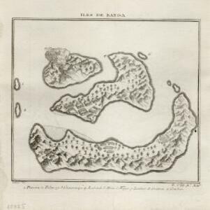
Iles de Banda

event1780

location_onIndonesia

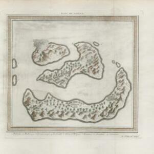
Map of the Banda Islands—which was at this time the only source of nutmeg in the world—featuring mountains, plantations, settlements and a military fort. On the island of Gunnanapi (Banda Api) a volcano erupts (‘api’ means ‘fire’ in Indonesian).

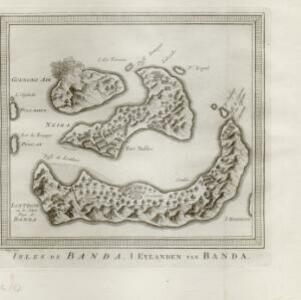
Isles de Banda = Eylanden van Banda

eventc.1772-1780

location_onIndonesia

Map of the Banda Islands—which was at this time the only source of nutmeg in the world—featuring mountains, plantations, settlements and a military fort. On the island of Goenong Api (Banda Api) a volcano erupts (‘api’ means ‘fire’ in Indonesian).

Iles de Banda

eventc.1746-1770

location_onIndonesia

Map of the Banda Islands—which was at this time the only source of nutmeg in the world—featuring mountains, plantations, settlements and a military fort. On the island of Gunnanapi (Banda Api) a volcano erupts (‘api’ means ‘fire’ in Indonesian).

close