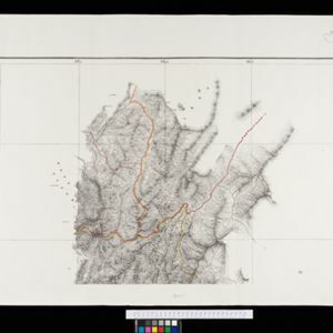
Itinéraires de Mr A. Pavie dans le Sud-Ouest l'Indo-Chine Orientale (Cambodge et Siam) (1880-1884)
event1884
location_onThailand, Cambodia
Eastern Naga Hills and Manipur with adjoining portions of Burmah
event1882
location_onMyanmar
Itinéraire de Hanoi à That-khe par Lang-son (Frontière Chinoise du Kouang-Si)
event1881
location_onVietnam
Asiatic archipelago
event1876
location_onVietnam, Myanmar, Papua New Guinea, Philippines, Singapore, Southeast Asia, Thailand, Malaysia, Laos, Indonesia, East Timor, Cambodia, Brunei
A map shewing the various routes proposed for connecting China with India and Europe through Burmah and developing the trade of Eastern Bengal, Burmah and China
event1875
location_onMyanmar, Thailand
Map of Burmah, and adjacent countries
event1875
location_onMyanmar, Thailand
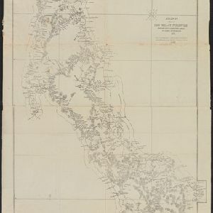
A map of a part of the Malay Peninsula belonging to Siam: copied from a map of the Siamese government in 1870
event1873
location_onMalaysia
Eastern British frontier bordering on Burmah and Munneepoor
event1871
location_onMyanmar
Kaart der residentie Riouw met onderhoorigheden, aangrenzend deel van Sumatra's Westkust en schiereiland Malakka
event1871
location_onIndonesia, Malaysia, Singapore
[Manuscript map of Asia and Australia]
event1870
location_onSoutheast Asia, Singapore, Brunei, Cambodia, East Timor, Indonesia, Laos, Malaysia, Myanmar, Papua New Guinea, Philippines, Thailand, Vietnam