Search

Search Results

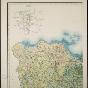
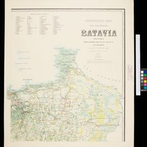
Topographische Kaart der residentie Batavia

event1897

location_onIndonesia

The residency of Batavia, West Java, featuring plantations (coffee, tea, coconut, cinnamon, nutmeg, sugar); crops (rice, alang-alang, bamboo); fishing ponds; factories, warehouses, shops; routes, administrative borders; mountains, rivers, lakes.

Java

event1894

location_onIndonesia

This detailed late 19th century map shows Java divided into regencies, and features mountains, land and sea routes, and an inset map of the port city of Batavia (Jakarta). It was designed to be folded within book covers so it could be easily carried.

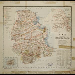
Kaart van der residentie Soerabaja

event1893

location_onIndonesia

A map of the residency of Soerabaja (East Java) divided into regencies, departments and districts. There are large fishing ponds around the coasts. An inset map shows distances between settlements by road, tracks and paths.

Java

event1890

location_onIndonesia

This detailed late 19th century map shows Java divided into regencies, and features mountains, roads, railways, and rivers. There is also an inset map of the port city of Batavia (Jakarta).

Topographische kaart der residentie Batavia

eventc.1882-1883

location_onIndonesia

The residency of Batavia, West Java, featuring plantations (coffee, tea, coconut, cinnamon, nutmeg, sugar); crops (rice, alang-alang, bamboo); fishing ponds; factories, warehouses, shops; routes, administrative borders; mountains, rivers, lakes.
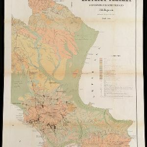
Geognostisch-Mijnbouwkundige Kaart van het Eiland Bangka, Distrikt Toboali

event1872

location_onIndonesia

This geological map of the district of Toboali (Bangka Island, east of Sumatra) uses colours to depict types of rocks, soils and minerals. Tin mining areas are also highlighted.

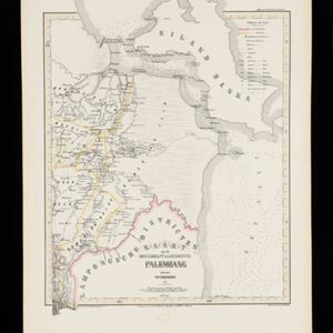
Kaart van de Oosterhelft der Residentie Palembang

event1860

location_onIndonesia

Map of the eastern half of the Dutch colonial administrative region (residency) of Palembang, Sumatra. A fort is marked in the town of Batoeradja. (From ‘Algemeene Atlas van Nederlandsche Indie [General Atlas of the Dutch East Indies]’.)

Algemeene Kaart van Nederlandsch Oostindie

event1842

location_onEast Timor, Indonesia, Malaysia, Singapore

This detailed map of the Dutch East Indies in the mid-19th century is spread over eight sheets, plus a cover sheet showing the whole area. There are numerous inset maps of islands, bays, cities etc.

Algemeene kaart van Nederlandsch Oostindie

eventc.1839-1855

location_onEast Timor, Indonesia, Malaysia, Singapore

This map of the Dutch East Indies is spread over eight sheets, with a hand-drawn cover sheet showing the whole area. There are numerous inset maps of islands, bays, cities etc. Two of the inset maps have a replacement map pasted over them.

close