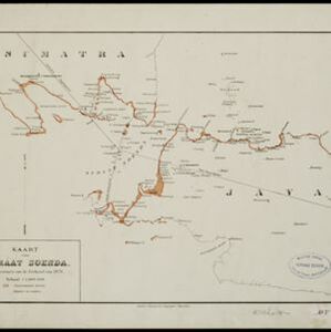
The coloured areas on this map indicate the coastal regions that flooded after the 1883 Krakatoa volcanic eruption. Krakatoa is shown in the centre of the Sunda Strait, between Sumatra and Java.
Carte de l'ile de Java
eventc.1850
location_onIndonesia
Map of Java and Madura divided into administrative districts, and featuring mountains, settlements and major roads. There is an inset map of the port city of Batavia (Jakarta) and its surrounding fields and countryside.
Carte de l'ile de Java
eventc.1850
location_onIndonesia
Map of Java and Madura divided into administrative districts, and featuring mountains, settlements and major roads. There is an inset map of the port city of Batavia (Jakarta) and its surrounding fields and countryside.