Search

Search Results

Noordkust Java: Westervaarwater van Soerabaja

event1898

location_onIndonesia

This map of the Madura Strait between Java and Madura is designed to aid navigation: bathymetry (water depth), lighthouses, shoals and reefs, rocks and mud, anchor points, and landmark mountains are all marked. Text describes the tidal conditions.

Baaien op de Zuidkust van Java

event1897

location_onIndonesia

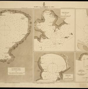
Five maps of bays of Java, including bathymetry (sea depth), anchor points, coastal hills, tide data, reefs and shoals. Obstructions in the water are marked ‘gr’ (rough), ‘h’ (hard), ‘k’ (clay), ‘kr’ (coral), ‘m’ (mud), ‘st’ (stones), and ‘z’ (sand).

Oostkust Sumatra: Blad VII

event1896

location_onIndonesia

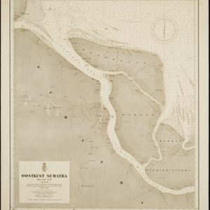
Navigation map of the waters around the islands of Bengkalis, Pedang and Tebingtinggi, off the east coast of Sumatra. Bathymetry (sea depth), tide data, reefs, shoals and other obstructions (clay, mud, shells, sand) are marked.

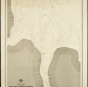
Oostkust Sumatra: Mond der Rokan-rivier

event1896

location_onIndonesia

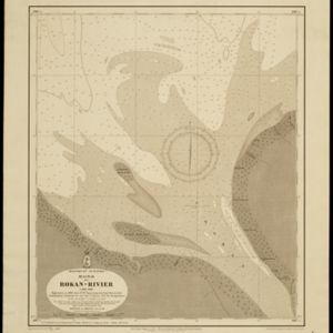
Map of the mouth of the Rokan River on the east coast of Sumatra. Bathymetry (sea depth), tide data, reefs, shoals and other obstructions (clay, mud, shells, sand) are marked. Underlined numbers give the height of the ground above the water.

Ankerplaatsen en mondingen van rivieren op de Noord- en Oostkust van Sumatra: Blad II

event1896

location_onIndonesia

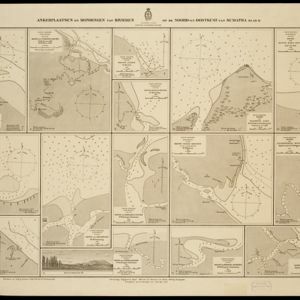
Fifteen separate maps of bays and river mouths of Sumatra, including bathymetry (sea depth), anchor points, reefs and shoals, and tide data. There is a drawing of the mouth of the Pidada-rivier.

Ankerplaatsen en mondingen van rivieren op de Noord- en Oostkust van Sumatra: Blad I

event1896

location_onIndonesia

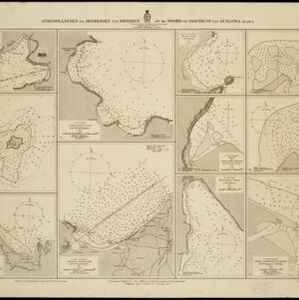
Eleven separate maps of bays and river mouths of Sumatra, including two bays on the island on Bras (Breueh Island), and the bay at Kota Radja (Banda Aceh). Bathymetry (sea depth), anchor points, reefs and shoals are marked, along with tide data.

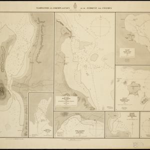
Vaarwaters en ankerplaatsen op de Zuidkust van Celebes

event1896

location_onIndonesia

Eight navigation maps from around the south coast of Celebes (Sulawesi). Anchorages, roadsteads (bodies of water sheltered from tides/currents), bathymetry (sea depth), shoals and other obstructions are shown, with hills and settlements as landmarks.

Kei- of Ewaf-eilanden

event1895

location_onIndonesia

Map of the Kai Islands, in the Banda Sea, designed for navigation: it features bathymetry (sea depth), tide data (arrows), reefs and shoals. Obstructions in the water are marked ‘kr’ (coral), ‘m’ (mud), ‘s’ (shells), ‘st’ (stones), and ‘z’ (sand).

Sumatra Oostkust: Monden der Koealoe en Panei rivieren

event1892

location_onIndonesia

Navigation map of the mouths of the Koealoe (Kualu) and Panei (Barumun and Bila) rivers on the east coast of Sumatra. Large sand and mud banks, bathymetry (sea depth), bouys and currents are marked. On land, tall trees are shown to use as landmarks.

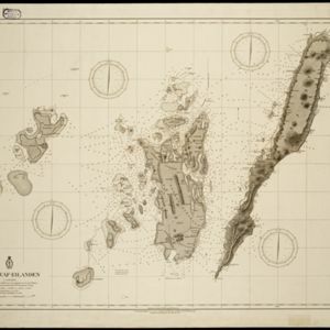
Kaart der Karimon-Djawa eilanden

event1887

location_onIndonesia

Map of the Karimunjawa Islands (Java Sea) marked with the locations of shoals, reefs, anchor points and sea depth (bathymetry) to aid navigation; and with geological sites (recent rock/coral formation, basalt rock, schist rock and quartz).

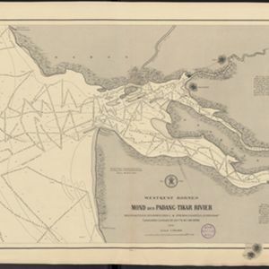
Westkust Borneo: Mond der Padang-Tikar rivier

event1884

location_onIndonesia

Navigation map of the mouth of the Padang Tikar River, on the west coast of Borneo, featuring bathymetric (water depth) routes. Obstructions are marked with letters: ‘m’ (mud), ‘z’ (sand). Trees, hills and fishermen’s houses are shown as landmarks.

close

  • Filter from 1817 to 1898

Current results range from 1817 to 1898