Search

Search Results

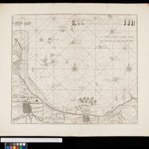
De reede en stadt Batavia, is geleegen aan de noord kust van 't eyland Groot Iava inde Oost Indische Zee

event1728

location_onIndonesia

A map of the bay of the port city of Batavia (Jakarta). To aid navigation, a rhumbline network (the web of interconnected lines), bathymetry (sea depth), and small islands, shoals and reefs are marked. An inset map shows the city in more detail.

Reduzirte Karte vom Sunda- oder Borneo-Meere

event1835

location_onMalaysia, Indonesia

A navigation map of the Java Sea and Sunda Islands, with bathymetry (sea depth), maritime routes, shoals and reefs, and elevations (side views of terrestrial landmarks). Inset maps feature the bay at Batavia and the straits between the Sunda Islands.

Algemeene Kaart van Nederlandsch Oostindie

event1842

location_onEast Timor, Indonesia, Malaysia, Singapore

This detailed map of the Dutch East Indies in the mid-19th century is spread over eight sheets, plus a cover sheet showing the whole area. There are numerous inset maps of islands, bays, cities etc.

Algemeene Atlas van Nederlandsche Indie

eventc.1853-1862

location_onIndonesia

Atlas featuring over 60 detailed maps of the Dutch East Indies: 24 maps cover Java; the remainder cover the rest of the Dutch East Indies. There are three index maps. (All the maps in this atlas are also presented separately on this platform.)

Kaart der Residentie Batavia

event1853

location_onIndonesia

Map of the Dutch colonial administrative region (residency) of Batavia (Jakarta, Java). Batavia Bay has bathymetry (sea depth) and shipping routes. (From ‘Algemeene Atlas van Nederlandsche Indie [General Atlas of the Dutch East Indies]’.)

Map of Prince of Wales' Island or Pulo Penang and province Wellesley

event1853

location_onMalaysia

Map of the Penang Strait, including written instructions on how to navigate the strait. On land, areas of cultivation are marked, with a table listing acreage used for each crop. A boundary with Siam based on an 1831 treaty is also shown.

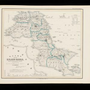
Kaart van het Eiland Banka

event1855

location_onIndonesia

Map of the Dutch colonial region of Banka (Bangka) island, featuring bathymetry (sea depth) in the Bangka Strait, and elevations showing heights of mountains. (From ‘Algemeene Atlas van Nederlandsche Indie [General Atlas of the Dutch East Indies]’.)

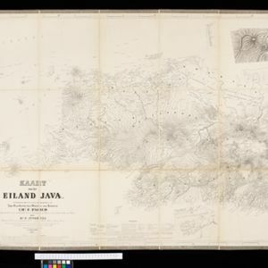
Kaart van het eiland Java

event1855

location_onIndonesia

Detailed map of Java based on the expeditions of the geologist and botanist Dr. Franz Junghuhn. There are 16 inset maps featuring volcanoes, mountains and coal seams.

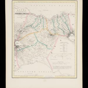
Kaart van de Residentie Probolinggo

event1856

location_onIndonesia

Map of the Dutch colonial administrative region (residency) of Probolinggo, Java, with an elevation showing the heights of the Tengger mountain range. (From ‘Algemeene Atlas van Nederlandsche Indie [General Atlas of the Dutch East Indies]’.)

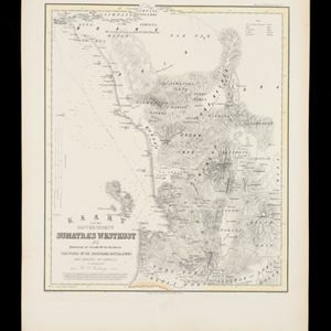
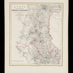
Kaart van de Gouvernement Sumatra's Westkust No. 1

event1857

location_onIndonesia

Map of part of the Dutch colonial administrative region of Sumatra’s Westkust (Sumatra’s West Coast). A route into the port of Sibogha (Sibolga) is marked. (From ‘Algemeene Atlas van Nederlandsche Indie [General Atlas of the Dutch East Indies]’.)

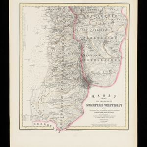
Kaart van de Gouvernement Sumatra's Westkust No. 2

event1857

location_onIndonesia

Map of part of the Dutch colonial administrative region of Sumatra’s Westkust (Sumatra’s West Coast). The sea is marked with bathymetry (sea depth). (From ‘Algemeene Atlas van Nederlandsche Indie [General Atlas of the Dutch East Indies]’.)

Kaart van de Gouvernement Sumatra's Westkust No. 4

event1857

location_onIndonesia

Map of part of the Dutch colonial administrative region of Sumatra’s Westkust (Sumatra’s West Coast). The sea is marked with bathymetry (sea depth). (From ‘Algemeene Atlas van Nederlandsche Indie [General Atlas of the Dutch East Indies]’.)

close

  • Filter from 1728 to 1900

Current results range from 1728 to 1900