
Search Results
30 Results found


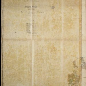
Kaart van de onderneming Pengging Bangat
1872
Indonesia
Map of an estate/plantation, with land/fields coloured to show their use/crop, and marked in red with their size. The map was made with information from village chiefs, whose villages are marked. A small painting depicts an aqueduct over a river.

Military cantonments: town and suburbs of Akyab, 1853-54
1866
Myanmar
Plan of British military installations in the port town of Akyab, Burma (Sittwe, Myanmar), featuring piers on the Kolladyne River (Kaladan River), hospitals, a work house, mission house, hotel, bazaar, burial grounds, religious buildings etc.

Ware affbeeldinge wegens het casteel ende stadt Batavia gelegen opt groot eylant Java anno 1669
1670
Indonesia
A plan of the important port of Batavia (Jakarta), with the fort, river, city streets and fields. Decorative illustrations include ships in the harbour, a view of the city and mountains, and the city’s coat of arms: a lion holding a sword and shield.


