Search

Search Results

Kaart van het Westelijk gedeelte bezet in Groot-Atjèh

event1895

location_onIndonesia

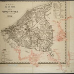
This map of Groot-Atjèh (Aceh, northern Sumatra) focuses on the western part occupied during the Aceh War. It shows mountains, wetlands, forests, villages, routes and crops (rice, coconut, banana, sugar, sugarcane, bamboo, alang-alang, betel).

Kaart van het gebied bezet in Groot-Atjeh

event1891

location_onIndonesia

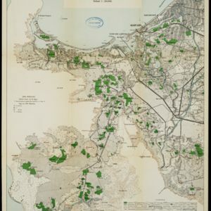
A map of Groot-Atjceh and the city of Kota Radja (modern Banda Aceh) at the northern tip of Sumatra, detailing routes (rivers, roads, railways), crops (rice, banana, sugarcane, betel, reed, alang-alang, bamboo) and land features (forests, wetlands).

Kaart van den vierkanten paal gouvernements grondgebied te Ngabang

event1888

location_onIndonesia

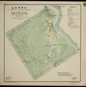
Map of the town of Ngabang, on the Landak River, Borneo and the surrounding forest and mountains. Around the town are cemeteries, a well, a jail and a Chinese temple. Bamboo, coconut trees, fishing ponds and fields (including alang-alang) are marked.

Caart en waaterpas van het Moolenvliet beneffens de gooten welke aan de oost en westzijde, hun waater uyt het zelve ontfangen

event1797

location_onIndonesia

This map shows part of the Moolenvliet canal (now known as Batang Hari) that passes through the centre of Batavia (Jakarta). The Dutch colonial authorities originally dug the canal in the 17th century by diverting part of the Ciliwung river.

close

  • Filter from 1797 to 1895

Current results range from 1797 to 1895