Search

Search Results

Map of the Kingdom of Siam and its dependencies

eventc.1900

location_onMyanmar, Malaysia, Singapore, Thailand, Laos, Cambodia, Vietnam

The border of the Kingdom of Siam (Thailand) and its internal administrative districts are highlighted in yellow. Inset maps show the cities of Bangkok, Chiengmai (Chiang Mai) and Luang Pra Bang (Luang Prabang) in more detail.

India

event1898

location_onIndonesia, Malaysia, Myanmar, Thailand

British Burma is coloured pink on this six-sheet map of India. Mountains are represented by hachures—short lines/dashes that give a sense of the shape and steepness of terrain—and settlements, railways, roads, rivers and lighthouses are marked.

Plan of the town and suburbs of Rangoon

eventc.1895-1897

location_onMyanmar

Detailed plan of the city of Rangoon (Yangon, Myanmar) with commercial, religious, government and military buildings, surrounded by lakes, fields of crops and villages. Someone has drawn details on the map of areas that have undergone ‘levelling’.

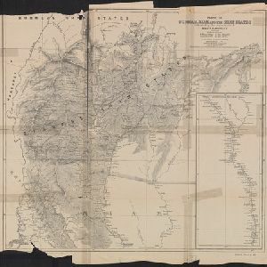
Parts of Burma, Siam and the Shan States

event1886

location_onMyanmar, Thailand

This map charts the journey of Holt S. Hallett as he searched for a suitable route for a railway to transport British goods from Burma to Thailand and China. He wrote the book ‘A Thousand Miles on an Elephant in the Shan States’ about his expedition.

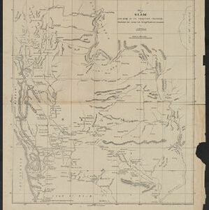
Map of Siam and some of its tributary provinces

event1870

location_onCambodia, Laos, Myanmar, Thailand

A map of Siam (Thailand) and parts of Burma (Myanmar), Cambodia and Laos, focusing on the river networks, and the mountain ranges which are represented by hachures: short lines/dashes that give a sense of the shape and steepness of terrain.

close

  • Filter from 1870 to 1900

Current results range from 1870 to 1900