Search

Search Results

Java

event1894

location_onIndonesia

This detailed late 19th century map shows Java divided into regencies, and features mountains, land and sea routes, and an inset map of the port city of Batavia (Jakarta). It was designed to be folded within book covers so it could be easily carried.

Java

event1890

location_onIndonesia

This detailed late 19th century map shows Java divided into regencies, and features mountains, roads, railways, and rivers. There is also an inset map of the port city of Batavia (Jakarta).

Plan topographique de l'arrondissement de Saigon

event1885

location_onVietnam

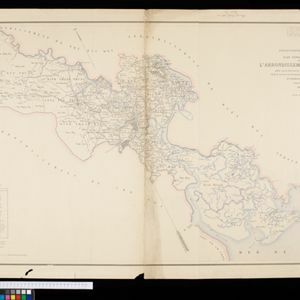
Map of the district of Saigon (Ho Chi Minh City, Vietnam), based around the Fleuve Soirap (Soài Rạp River) as it winds its way down to the South China Sea. The city of Saigon is on its banks, surrounded by more rivers, roads, fields and villages.
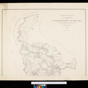
Plan topographique de l'arrondissement de Bien-Hoa

event1881

location_onVietnam

Two-sheet map of the district of Bien-Hoa (Biên Hòa) east of Ho Chi Minh City, Vietnam. The area is dominated by rivers, wetlands and mangroves. Labels describe the terrain e.g. ‘Bois marécageux avec rivières [Swampy woods with rivers]’.
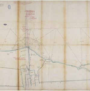
Situatie kaart van een gedeelte der stad Batavia

event1874

location_onIndonesia

Map of the coastline of the bay of Batavia (Jakarta) showing the extension of the port’s pier (in red, labelled CD), the sand and mud bank and bathymetry (sea depth) in the bay, and notes regarding changes in tide levels over the years.
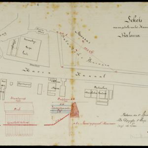
Schets van een gedeelte van het Haven-kanaal te Batavia

event1871

location_onIndonesia

A hand-drawn plan of part of the ‘Haven Kanaal [Harbour Canal]’ port in Batavia (Jakarta), showing warehouses and other buildings, including a fortified artillery battery. There are two profile drawings of parts of the port’s retaining wall.
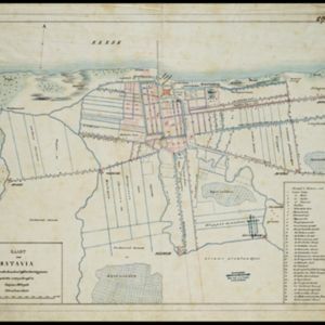
Plattegrond der stad Soerabaija

event1867

location_onIndonesia

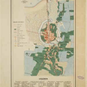
A mid-19th century map of the city of Soerabaija (Surabaya, East Java, Indonesia) showing its recently built defences, including the ‘Citadel Prins Hendrik’ fort and a walled moat. Outside the city are villages, plantations and fields.

Plattegrond der stad Batavia

event1866

location_onIndonesia

A mid-19th century map of the important port of Batavia (Jakarta), with its pier, commercial centre and residential streets. However, the city is also surrounded by villages (kampongs), fields and plantations. An inset map shows Batavia Castle.

Plattegrond der stad Samarang

event1866

location_onIndonesia

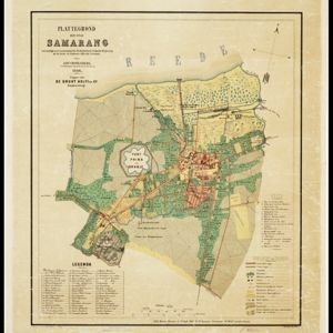
Mid-19th century map of the city of Samarang (Semarang, Central Java, Indonesia) dominated by the Fort Prins van Oranje. The railway station and Haven Kanal, which flows to the sea, are also prominent. The city is surrounded by villages and fields.

Kaart van Batavia omstreeks honderdvÿfentwintigjaren geleden overgebragt in het jaar 1864

event1864

location_onIndonesia

Although published in the mid-19th century, this map is based on Batavia (Jakarta) in c.1740. It focuses on the city’s castle and streets (in red), but also shows the fields of crops and the wetlands surrounding the city (in blue).

Carte de l'ile de Java

eventc.1850

location_onIndonesia

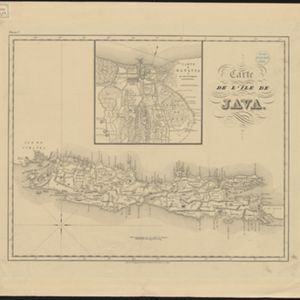
Map of Java and Madura divided into administrative districts, and featuring mountains, settlements and major roads. There is an inset map of the port city of Batavia (Jakarta) and its surrounding fields and countryside.

Carte de l'ile de Java

eventc.1850

location_onIndonesia

Map of Java and Madura divided into administrative districts, and featuring mountains, settlements and major roads. There is an inset map of the port city of Batavia (Jakarta) and its surrounding fields and countryside.

close