Search

Search Results

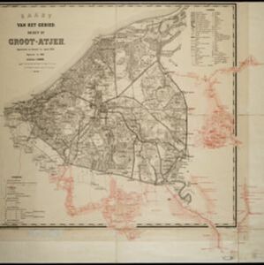
Kaart van het gebied bezet in Groot-Atjèh

event1898

location_onIndonesia

A six-sheet map of Groot-Atjèh (Aceh, northern Sumatra) focusing on areas occupied during the Aceh War (1873–1904) between the Sultanate of Aceh and Dutch colonists. It shows military positions and fortifications, buildings, routes and crops.

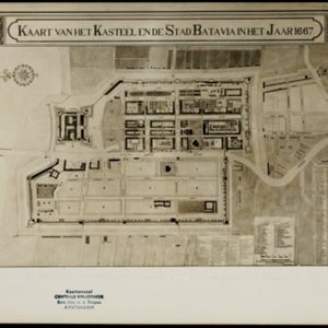
Kaart van het kasteel en de stad Batavia in het jaar 1667

event1898

location_onIndonesia

Very detailed map of the port city of Batavia (Jakarta), with numerous locations listed in the multiple legends. The city’s coat of arms—featuring a sword and laurel wreath—and the Dutch East India Company monogram logo—letters ‘VOC’—are also shown.

Atlas van Nederlandsch Oost-Indië

eventc.1897-1904

location_onIndonesia

Very detailed atlas of the entire Dutch East Indies, over 16 map sheets, with a cover and overview map. Includes topographic maps, inset maps of cities and islands, and maps featuring land and sea routes, languages, geology, colonial territory etc.

Kaart van de Hoofdplaats Padang

event1896

location_onIndonesia

Map of the city of Padang, Sumatra, featuring roads, religious and military buildings, markets, warehouses and factories, and a railway station. Surrounding areas have villages and fields of rice, nutmeg, coconut, bamboo, alang-alang, sugarcane.

Sumatra: Residentie Benkoelen (Bengkoelen)

eventc.1894-1895

location_onIndonesia

Map of the residency of Benkoelen (Bengkulu, southwest coast of Sumatra), over 10 sheets, with an inset map of the city of Bengkoelen (Bengkulu). Types of crops—coconut, rice, alang-alang, nipah palm, coffee—are marked. Sheet number 8 is missing.

Kaart van het gebied bezet in Groot-Atjeh

event1891

location_onIndonesia

A map of Groot-Atjceh and the city of Kota Radja (modern Banda Aceh) at the northern tip of Sumatra, detailing routes (rivers, roads, railways), crops (rice, banana, sugarcane, betel, reed, alang-alang, bamboo) and land features (forests, wetlands).

Ware affbeeldinge wegens het casteel ende stadt Batavia gelegen opt groot eylant Java anno 1669

event1670

location_onIndonesia

A plan of the important port of Batavia (Jakarta), with the fort, river, city streets and fields. Decorative illustrations include ships in the harbour, a view of the city and mountains, and the city’s coat of arms: a lion holding a sword and shield.

close