Search

Search Results

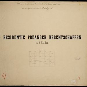
Topographische kaart van de residentie Preanger regentschappen

event1894

location_onIndonesia

The residency of Preanger (Parahyangan), West Java, with plantations (coconut, coffee, tea, cinchona (‘kina’), betel, teakwood, bamboo) and crops (rice, sugarcane, alang-alang). Two inset maps: a triangulation map, and a map of land route distances.

City of Mandalay and environs

event1894

location_onMyanmar

Map of the Burmese city of Mandalay on the Irrawaddy River. The city has a grid of roads and buildings, dominated by Fort Dufferin (formerly Mandalay Palace). The surrounding country has villages, crops, agricultural ponds and irrigation channels.

British Burma, Pegu division: With additions to railways up to 1891

event1891

location_onMyanmar

Topographical map of the Pegu Division of British Burma (Myanmar), spread over four sheets. In addition to mountains, forests, rivers and wetlands, rice fields, routes (road, railway, path, telegraph), villages and pagodas are marked.

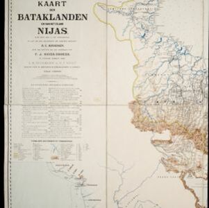
Kaart der Bataklanden en van het eiland Nijas

event1890

location_onIndonesia

A large-scale map of northern Sumatra, spread over 16 sheets, and divided into administrative regions. The island of Nijas (Nias) is marked with the locations of local tribes, and there is a list of other maps referenced in producing the map.

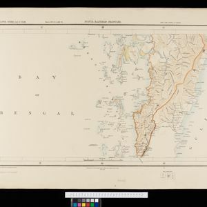
South eastern frontier

eventc.1890-1906

location_onMyanmar, Thailand

Very detailed large-scale map of the southeast border of Burma (Myanmar) and Siam (Thailand), divided into districts. Spread over multiple sheets, seems incomplete (some sheets appear more than once, probably from different versions of the same map).

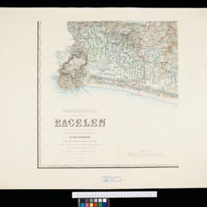
Topographische Kaart der residentie Bagelen

event1890

location_onIndonesia

The residency of Bagelen, Central Java, is shown divided into regencies and districts. Coffee, tea and cinnamon plantations, fields of rice, alang-alang and other crops, mountains, rivers, hot and mineral springs, settlements and routes are marked.

Sumatra

event1889

location_onIndonesia

Map of the city of Padang on the west coast of Sumatra, with inset maps of the nearby islands, featuring residential, business, government and military areas. There are also agricultural areas with coconut, nutmeg, bamboo, nipa palm and sago palm.

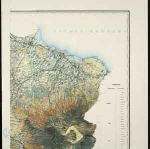
Topographische kaart der residentie Besoeki

event1888

location_onIndonesia

The residency of Besoeki (Besuki), East Java, featuring crops (rice, alang-alang, bamboo, coconut); fishing ponds; factories, warehouses, businesses; routes, administrative borders; churches, cemeteries, forts, lighthouses; mountains, rivers, lakes.

Plan topographique de l'arrondissement de Tan An

event1888

location_onVietnam

Map of the district of Tan An (Tân An in the Mekong Delta, Vietnam) dominated by the two branches of the Vàm Cỏ River. The city of Tan An is in the centre of the more populated southern part of the district.

Topographische kaart der residentie Pasoeroean

event1887

location_onIndonesia

The residency of Pasoeroean (Pasuruan), East Java, featuring crops (coffee, cinchona (kina), rice, alang-alang, bamboo) and fishing ponds. Two inset maps: a triangulation map, and a map of distances between settlements by various types of transport.

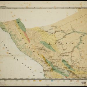
Topographische en geologische kaart van Zuid-Sumatra bevattende de residentien Bengkoelen, Palembang en Lampongsche Districten

event1880

location_onIndonesia

A topographical and geological map of southern Sumatra, over four sheets. Areas of igneous and sedimentary rock, coal, fossils, petroleum, active volcanoes and hot springs are marked, along with mountains, rivers and marshland, roads and settlements.

close