Search

Search Results

Map of the Eastern Frontier of British India, with the adjacent countries

event1838

location_onMyanmar, Thailand

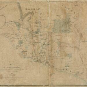
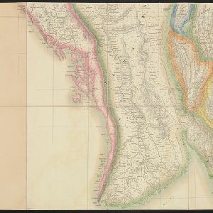
Regional and local borders are colour-coded, with mountains and rivers, settlements, paths/roads and names of local peoples marked. Notes such as ‘Gold dust found in these streams’ and ‘Rich in Tin’ add detail. Only two of four sheets are available.

Map of Prince of Wales' Island or Pulo Penang and province Wellesley

event1853

location_onMalaysia

Map of the Penang Strait, including written instructions on how to navigate the strait. On land, areas of cultivation are marked, with a table listing acreage used for each crop. A boundary with Siam based on an 1831 treaty is also shown.

Military cantonments: town and suburbs of Akyab, 1853-54

event1866

location_onMyanmar

Plan of British military installations in the port town of Akyab, Burma (Sittwe, Myanmar), featuring piers on the Kolladyne River (Kaladan River), hospitals, a work house, mission house, hotel, bazaar, burial grounds, religious buildings etc.

Map of the Malacca territory

event1878

location_onMalaysia

A late 19th century map of the town of Malacca and its surrounding area, including jungles, forests, mountains, rivers, roads, villages, tapioca estates and factories, and police stations. There is even a leper hospital on an island off the coast.

Plan of Port Moresby and the road to the Lolokie River: New Giunea

event1887

location_onPapua New Guinea

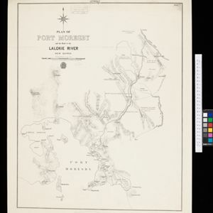
This map focuses on the capital city of British New Guinea, Port Moresby, and the road heading north-east from the city to the Laloki River. Along the road, there are descriptions of the terrain (‘Open flat fairly grasses timbered with bastard Gum’).

Rough sketch plan of St. Joseph District, British New Guinea

event1890

location_onPapua New Guinea

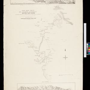
Map of part of British New Guinea with notes on terrain (‘Swamp’), vegetation (‘Grass & wood patches with old gardens’) and people (‘Oru tribe’), and three elevation views of mountain ranges. Some villages are marked as having ‘resident teachers’.

British Burma, Pegu division: With additions to railways up to 1891

event1891

location_onMyanmar

Topographical map of the Pegu Division of British Burma (Myanmar), spread over four sheets. In addition to mountains, forests, rivers and wetlands, rice fields, routes (road, railway, path, telegraph), villages and pagodas are marked.

District Ruby Mines

event1893

location_onMyanmar

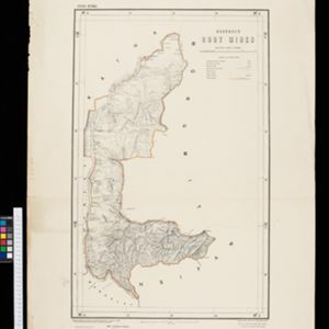
Map of the district of Ruby Mines in northern Burma (Myanmar) featuring the Irrawaddy and Shweli rivers. High points are marked with their heights so they can be used for triangulation. As the name suggests, the district was known for its rubies.

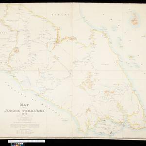
Map of Johore Territory 1893

event1893

location_onMalaysia, Singapore

Map of the Malay state of Johor, and Singapore. The route of a proposed railway north from Johor Bahru is shown. Apart from rivers and mountains, much of the terrain is blank, with labels such as ‘Unexplored Hill Country’ or ‘Dense Jungle and Swamp’.

City of Mandalay and environs

event1894

location_onMyanmar

Map of the Burmese city of Mandalay on the Irrawaddy River. The city has a grid of roads and buildings, dominated by Fort Dufferin (formerly Mandalay Palace). The surrounding country has villages, crops, agricultural ponds and irrigation channels.

District Katha

event1894

location_onMyanmar

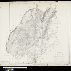
Map of the district of Katha in northern Burma (Myanmar) featuring the Irrawaddy River, and the Mu Valley State Railway (still partially under construction). High points are marked with their heights so they can be used for triangulation.

Map of the Johore Territory 1893

event1894

location_onMalaysia, Singapore

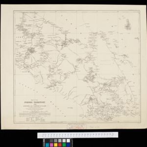
Map of the Malay state of Johor, and Singapore. The route of a proposed railway north from Johor Bahru is shown. Apart from rivers and mountains, much of the terrain is blank, with labels such as ‘Unexplored Hill Country’ or ‘Dense Jungle and Swamp’.

close