
Search

Refine your results
- Filter from 1881 to 1894
Current results range from 1881 to 1894
Location
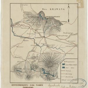
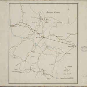
- check_box[remove]Bandoeng3
- check_box_outline_blankBandung3
- check_box_outline_blankDutch East Indies3
- check_box_outline_blankJava3
- check_box_outline_blankTjitjalengka2
- check_box_outline_blankCianjur1
- check_box_outline_blankGunung Malabar1
- check_box_outline_blankLimbangan1
- check_box_outline_blankMount Malabar1
- check_box_outline_blankParahyangan1
- check_box_outline_blankPreanger1
- check_box_outline_blankSoekapoera1
- more Detailed Location »


