Search

Search Results

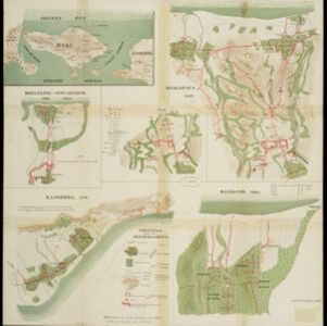
Expeditiën naar Bali in 1846, -48, -49 en -68

event1897

location_onIndonesia

Map of Bali, with five inset maps showing locations of Dutch military interventions on the island from 1846 to 1868. Troop positions and Balinese defences—barricades, moats—are marked, along with terrain, roads, palaces, temples and villages.

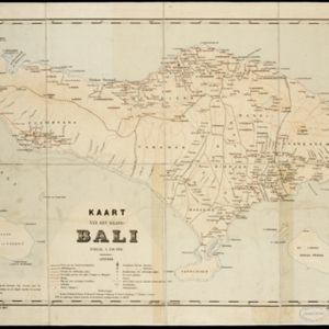
Kaart van het Eiland Bali

event1897

location_onIndonesia

Bali under Dutch colonial rule is shown here divided into eight regencies (administrative divisions). Contour lines indicate elevation, with the heights of some mountains noted. Shoals, reefs and sandbanks are marked around the coast.

close