Search

Search Results

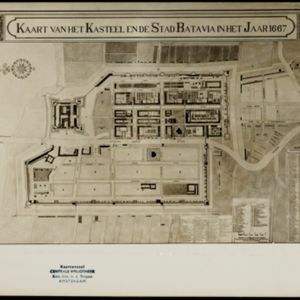
Kaart van het kasteel en de stad Batavia in het jaar 1667

event1898

location_onIndonesia

Very detailed map of the port city of Batavia (Jakarta), with numerous locations listed in the multiple legends. The city’s coat of arms—featuring a sword and laurel wreath—and the Dutch East India Company monogram logo—letters ‘VOC’—are also shown.

Atlas van Nederlandsch Oost-Indië

eventc.1897-1904

location_onIndonesia

Very detailed atlas of the entire Dutch East Indies, over 16 map sheets, with a cover and overview map. Includes topographic maps, inset maps of cities and islands, and maps featuring land and sea routes, languages, geology, colonial territory etc.

Java

event1890

location_onIndonesia

This detailed late 19th century map shows Java divided into regencies, and features mountains, roads, railways, and rivers. There is also an inset map of the port city of Batavia (Jakarta).

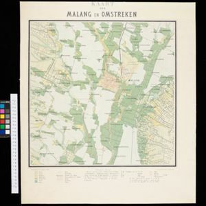
Kaart van Malang en Omstreken

event1882

location_onIndonesia

Map of the city of Malang, Java, featuring the railway station, military camp, hospital, market etc. The surrounding area has villages, rivers and crops: rice (paddy) fields, coffee, alang-alang, bamboo. Red numbers represent height above sea-level.

Plattegrond der stad Soerabaija

event1867

location_onIndonesia

A mid-19th century map of the city of Soerabaija (Surabaya, East Java, Indonesia) showing its recently built defences, including the ‘Citadel Prins Hendrik’ fort and a walled moat. Outside the city are villages, plantations and fields.

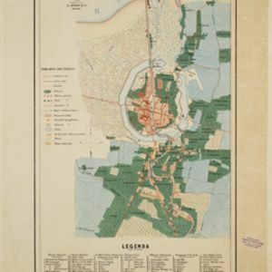
Plattegrond der stad Batavia

event1866

location_onIndonesia

A mid-19th century map of the important port of Batavia (Jakarta), with its pier, commercial centre and residential streets. However, the city is also surrounded by villages (kampongs), fields and plantations. An inset map shows Batavia Castle.

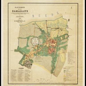
Plattegrond der stad Samarang

event1866

location_onIndonesia

Mid-19th century map of the city of Samarang (Semarang, Central Java, Indonesia) dominated by the Fort Prins van Oranje. The railway station and Haven Kanal, which flows to the sea, are also prominent. The city is surrounded by villages and fields.

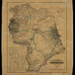
Kaart der residentie Soerakarta

event1859

location_onIndonesia

The residency of Soerakarta in Central Java is shown divided into regencies (yellow borders) and districts (blue borders). There is an inset plan of the capital city, Soerakarta (modern Surakarta), and mountains and land routes are marked.

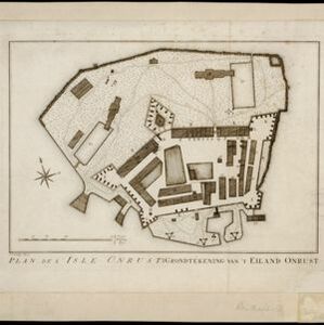
Plan de l'Isle Onrust = Grondtékening van 't Eiland Onrust

event1760

location_onIndonesia

Map of the Dutch town and naval base on the island of Onrust in Batavia (Jakarta) Bay, featuring the dock at the south, and various other buildings. There are defences around the north and east coasts, and internal walls around the main buildings.

close

  • Filter from 1760 to 1898

Current results range from 1760 to 1898