Search Results

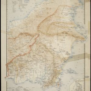
Kaart der residentie Zuider- en Ooster-afdeeling van Borneo
1899
Indonesia
On this map, the residency of South and East Borneo is divided into departments (green borders) and provinces (yellow borders). There is an inset plan of the city of Banjarmasin, with rivers, buildings, residential areas, roads and crops marked.

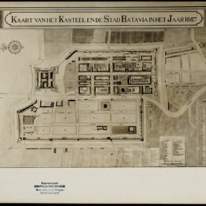
Kaart van het kasteel en de stad Batavia in het jaar 1667
1898
Indonesia
Very detailed map of the port city of Batavia (Jakarta), with numerous locations listed in the multiple legends. The city’s coat of arms—featuring a sword and laurel wreath—and the Dutch East India Company monogram logo—letters ‘VOC’—are also shown.

Atlas van Nederlandsch Oost-Indië
c.1897-1904
Indonesia
Very detailed atlas of the entire Dutch East Indies, over 16 map sheets, with a cover and overview map. Includes topographic maps, inset maps of cities and islands, and maps featuring land and sea routes, languages, geology, colonial territory etc.


