Search

Search Results

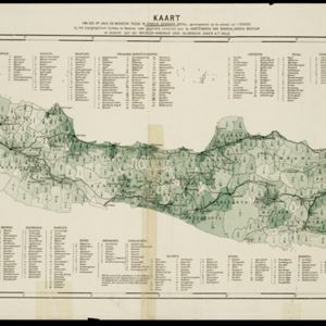
Kaart van den op Java en Madoera reeds in gebruik genomen grond

event1892

location_onIndonesia

Land usage statistics are shown on this map of Java and Madura. The amount of land used in each district is indicated by green hash marks, and by a number giving its land use percentage. District names are listed and identified by a letter.

New Sketch Map of the Protected Malay State of Perak

event1892

location_onMalaysia

Map of the state of Perak (Malay Peninsula) with a table of statistics: area, population, road/railway/river lengths, revenue, tin exports. Gold and tin mines are marked, and the Straits Settlements are highlighted in red.

Topographische Kaart van de residentie Banjoemas

event1892

location_onIndonesia

The residency of Banjoemas (Banyumas), Central Java, featuring plantations (bamboo, teakwood, coconut, coffee, cinnamon) and rice; routes (road, postal, railway), administrative borders; mountains, rivers, wetlands, forests.

Java

event1890

location_onIndonesia

This detailed late 19th century map shows Java divided into regencies, and features mountains, roads, railways, and rivers. There is also an inset map of the port city of Batavia (Jakarta).

Sumatra

event1889

location_onIndonesia

Map of the city of Padang on the west coast of Sumatra, with inset maps of the nearby islands, featuring residential, business, government and military areas. There are also agricultural areas with coconut, nutmeg, bamboo, nipa palm and sago palm.

Topographische kaart der residentie Pasoeroean

event1887

location_onIndonesia

The residency of Pasoeroean (Pasuruan), East Java, featuring crops (coffee, cinchona (kina), rice, alang-alang, bamboo) and fishing ponds. Two inset maps: a triangulation map, and a map of distances between settlements by various types of transport.

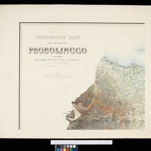
Topographische kaart der residentie Probolinggo

eventc.1884-1885

location_onIndonesia

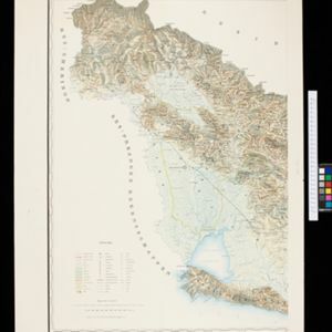
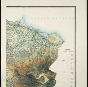
Four-sheet topographic map of the residency of Probolinggo (East Java), with an inset map of distances between locations by rail and road, and a signal map. Crops, fishing ponds, sugar factories, and coffee and salt warehouses are shown.

Kaart van Java en Madura

event1885

location_onIndonesia

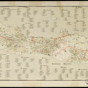
This map of Java and Madura is divided into administrative areas: residencies (blue lines), departments (green) and districts (yellow). The locations of government coffee and salt warehouses, as well as railways and tramways (red lines) are marked.

Topographische Kaart der residentie Probolinggo

event1885

location_onIndonesia

Four-sheet topographic map of the residency of Probolinggo (East Java), with an inset map of distances between locations by rail and road, and a signal map. Crops, fishing ponds, sugar factories, and coffee and salt warehouses are shown.

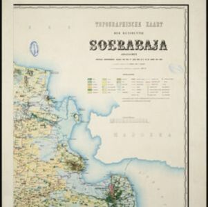
Topographische kaart der residentie Soerabaja

event1884

location_onIndonesia

The residency of Soerabaja, East Java, featuring crops (coffee, coconut, sugarcane, rice, alang-alang, bamboo) and fishing ponds. Three inset maps: a triangulation map; a map of distances between settlements by types of transport; Bawean Island.

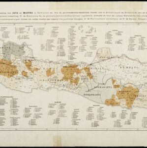
Kaart aangevende 1°. de verdeeling van Java en Madura in gewesten en wat de gouvernements-residentiën betreft, ook in afdeelingen en districten

event1884

location_onIndonesia

This late 19th century map shows Java and Madura divided into regencies and departments, and further divided into districts. Government land used for growing coffee, businesses, agriculture, railways, postal routes and major roads are also shown.

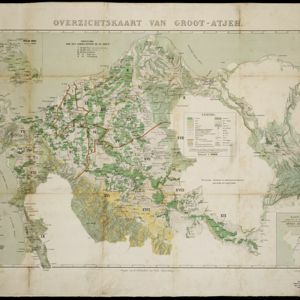
Overzichtskaart van Groot-Atjeh

event1884

location_onIndonesia

Map of Groot-Atjeh (Aceh, Sumatra) divided into administrative districts. Mountains, forests, villages, railways, roads and rivers are marked. There are inset maps of Poeloe Bras (Breueh Island), and showing distances between larger settlements.

close

  • Filter from 1861 to 1898

Current results range from 1861 to 1898