Search

Search Results

Kaart van den spoorweg van Samarang naar de Vorstenlanden

event1869

location_onIndonesia

This map follows a railway line south from the city of Samarang to Soerakarta and Djokdjokarta (cities in two of the ‘Vorstenlanden’ or ‘Princely Lands’). Other railways, rivers, crops (indigo plants, tobacco, coffee) and sugar factories are marked.

Topographische kaart der residentie Soerakarta

event1867

location_onIndonesia

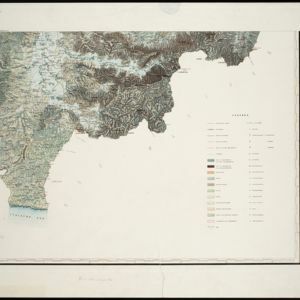
The residency of Soerakarta (Surakarta), Central Java, featuring crops (coffee, sugarcane, rice, sugar); warehouses (coffee, sugar, tobacco, indigo plant); factories (sugar, tobacco, indigo plant); routes (railway, postal, road).

Kaart der Residentie Soerakarta

event1859

location_onIndonesia

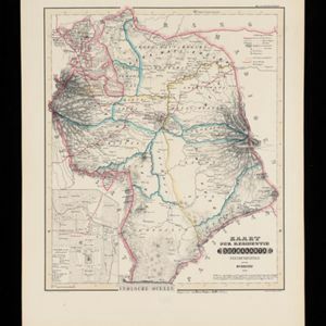
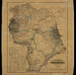
Map of the Dutch colonial administrative region (residency) of Soerakarta (Surakarta, Java). Inset map of Surakarta city, with a military fort and two palaces. (From ‘Algemeene Atlas van Nederlandsche Indie [General Atlas of the Dutch East Indies]’.)

Kaart der residentie Soerakarta

event1859

location_onIndonesia

The residency of Soerakarta in Central Java is shown divided into regencies (yellow borders) and districts (blue borders). There is an inset plan of the capital city, Soerakarta (modern Surakarta), and mountains and land routes are marked.

close

  • Filter from 1859 to 1869

Current results range from 1859 to 1869