Search

Search Results

Algemeene kaart van Nederlandsch Oostindie

eventc.1839-1855

location_onEast Timor, Indonesia, Malaysia, Singapore

This map of the Dutch East Indies is spread over eight sheets, with a hand-drawn cover sheet showing the whole area. There are numerous inset maps of islands, bays, cities etc. Two of the inset maps have a replacement map pasted over them.

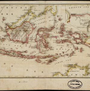
Nederlandsch Oost-Indië

event1840

location_onBrunei, East Timor, Indonesia, Malaysia, Papua New Guinea, Philippines, Singapore

The Dutch East Indies are bordered in red on this mid-19th century map. A maritime postal route from China to Europe, via Singapore and Penang, is shown. Another maritime route, from Batavia to Singapore, is also marked.

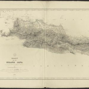
Kaart van het eiland Java

event1845

location_onIndonesia

This map of Java uses hachures: short lines/dashes that give a sense of the shape and steepness of terrain. The coast is marked with shoals and reefs (dotted lines and crosses), bathymetry (sea depth, in figures) and anchor points (anchor symbols).

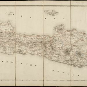
Kaart van Java en Madura

event1850

location_onIndonesia

This map of Java and Madura uses hachures: short lines/dashes that give a sense of the shape and steepness of terrain. Roads, railways and rivers are marked, as are anchor points and coral reefs (marked with letter ‘K.’ before their name).

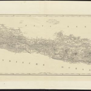
Kaart van het eiland Java uit de nieuwste bronnen zamengesteld

event1855

location_onIndonesia

Map of Java divided into administrative areas (‘residencies’ and ‘regencies’). Mountains are represented by hachures, short lines/dashes that give a sense of the shape and steepness of terrain. Postal routes and roads are also marked.

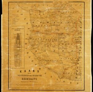
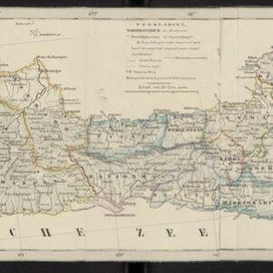
Kaart van de westerhelft der residentie Rembang

event1858

location_onIndonesia

Topographic map of the residency of Rembang, Central Java, divided into regencies and districts. Roads and villages are marked, with shoals, reefs and water depth at sea. An inset map of the city of Rembang features markets, warehouses, churches.

Kaart der residentie Soerakarta

event1859

location_onIndonesia

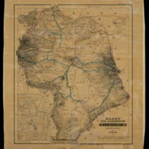
The residency of Soerakarta in Central Java is shown divided into regencies (yellow borders) and districts (blue borders). There is an inset plan of the capital city, Soerakarta (modern Surakarta), and mountains and land routes are marked.

Kaart der telegraaflijnen op Java

event1859

location_onIndonesia

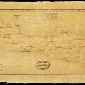
The red lines mark the telegraph lines (‘telegraaflÿnen’) found in mid-19th century Java. The red circles are telegraph offices (‘telegraafkantoren’). Postal routes (‘postwegen’), roads (‘binnenwegen’) and rivers (letter ‘R.’and name) are also shown.

Kaart van de residentie Madioen

event1859

location_onIndonesia

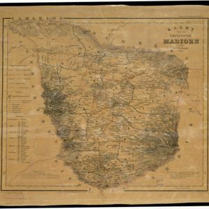
A map of the residency of Madioen (Madiun), East Java, divided into regencies and districts. Mountains, rivers and roads are marked, along with postal routes and post offices, sugar factories, cinnamon sheds (‘kaneelloodsen’) and indigo plant mills.

Topographische kaart der residentie Bagelen

event1860

location_onIndonesia

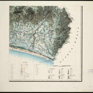
The residency of Bagelen, Central Java, is shown divided into regencies and districts. Coffee, tea and cinnamon plantations, fields of rice, alang-alang and other crops, mountains, rivers, hot and mineral springs, settlements and routes are marked.

Het eiland Java benevens Bali

event1861

location_onIndonesia

This map shows Java and Bali divided into Dutch colonial administrative areas (‘residencies’), and features mountains, rivers, settlements, and routes. It was designed to be folded within book covers so it could be easily carried.

close

  • Filter from 1839 to 1898

Current results range from 1839 to 1898