Search Results
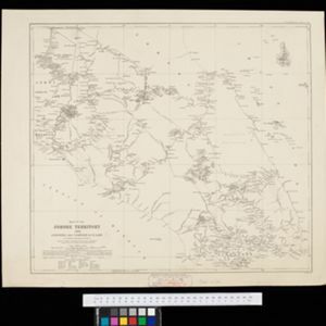
Map of the Johore Territory 1893
1894
Malaysia, Singapore
Map of the Malay state of Johor, and Singapore. The route of a proposed railway north from Johor Bahru is shown. Apart from rivers and mountains, much of the terrain is blank, with labels such as ‘Unexplored Hill Country’ or ‘Dense Jungle and Swamp’.

Trade Routes in the Far East
1894
Brunei, Cambodia, Indonesia, Laos, Malaysia, Myanmar, Philippines, Singapore, Thailand, Vietnam
Map of stream ship trade routes around Southeast Asia. Rivers, railways, submarine telegraph cables, lighthouses (fixed, revolving and flashing), graving docks and coaling stations are marked. An inset map shows a railway route from Britain to Asia.
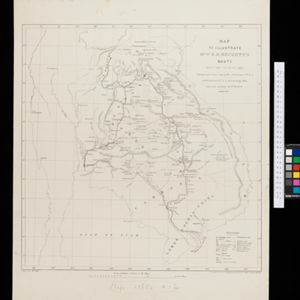
Map to illustrate Mr. W.R.D. Beckett's route, Novr. 1891-April 1892
1893
Vietnam, Thailand, Cambodia, Laos
The route of W.R.D. Beckett between Bangkok and Saigon, partly along the Mekong River, is marked on this map, along with trade routes, police posts, mines (copper, iron, gold), and products (the spice cardamom, and resin benzoin (‘Gumbenjamin’)).
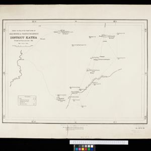
Index to relative positions of gold mining & prospecting grants: District Katha
1893
Myanmar
Map of the Katha district, Burma (Myanmar), with locations of gold mines and land allocated for prospecting. High points are marked and linked with lines to create a triangulation network. The Mu Valley State Railway and Mu River are shown.
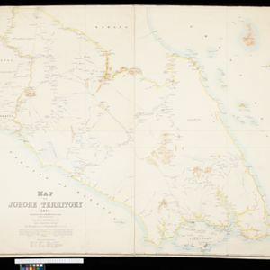
Map of Johore Territory 1893
1893
Malaysia, Singapore
Map of the Malay state of Johor, and Singapore. The route of a proposed railway north from Johor Bahru is shown. Apart from rivers and mountains, much of the terrain is blank, with labels such as ‘Unexplored Hill Country’ or ‘Dense Jungle and Swamp’.
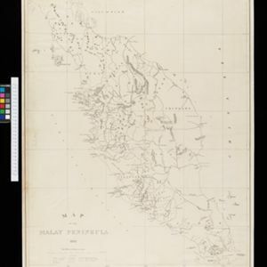
Map of the Malay Peninsula 1892
1892
Malaysia, Singapore, Thailand
Map of the Malay Peninsula divided into States, with names of local peoples marked (e.g. ‘Inhabited by Sakai & Semang’). Lighthouses are shown around the coast—including Horsburgh Lighthouse and Raffles Lighthouse—with their visible distance.
- Filter from 1824 to 1900
- [remove]Railway/Tramway66
- River60
- Road28
- Path14
- Telegraph/Telephone14
- Canal7
- Bridge2
- Postal Route1
- Survey of India Offices, Calcutta33
- Stanford's Geographical Establishment9
- Intelligence Division, War Office8
- Edward Stanford6
- Royal Geographical Society3
- British North Borneo Chartered Company2
- Julius Bien & Co.2
- War Department, Adjutant General's Office, Military Information Division2
- more Printer/Publisher »

