Search

Search Results

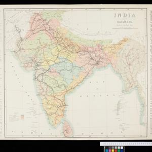
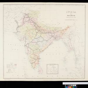
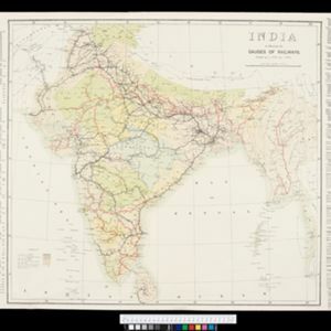
India to illustrate the gauges of railways

event1899

location_onMyanmar

This map of India and Burma (Myanmar) shows railways, and railways sanctioned or under construction. The lines on Myanmar are all metre gauge. There is also a list of the railway lines shown, with their route and length.

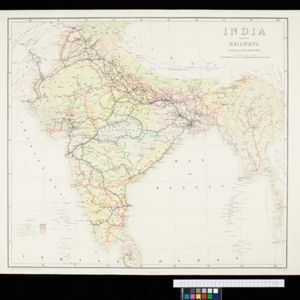
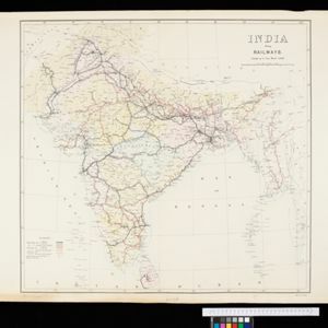
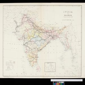
India shewing railways

event1898

location_onMyanmar

This map of India and Burma (Myanmar) shows railways, and railways sanctioned or under construction. There is a list of the railway lines shown, with their route and length. Other maps show the same area in different years of the 1890s.

India

event1898

location_onIndonesia, Malaysia, Myanmar, Thailand

British Burma is coloured pink on this six-sheet map of India. Mountains are represented by hachures—short lines/dashes that give a sense of the shape and steepness of terrain—and settlements, railways, roads, rivers and lighthouses are marked.

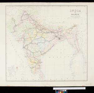
India shewing railways

event1897

location_onMyanmar

This map of India and Burma (Myanmar) shows railways, and railways sanctioned or under construction. Other maps in this series show the same area in different years of the 1890s.

India shewing railways

event1896

location_onMyanmar

This map of India and Burma (Myanmar) shows railways, and railways sanctioned or under construction. Other maps in this series show the same area in different years of the 1890s.

India shewing railways

event1895

location_onMyanmar

This map of India and Burma (Myanmar) shows railways, and railways sanctioned or under construction. Other maps in this series show the same area in different years of the 1890s.

City of Mandalay and environs

event1894

location_onMyanmar

Map of the Burmese city of Mandalay on the Irrawaddy River. The city has a grid of roads and buildings, dominated by Fort Dufferin (formerly Mandalay Palace). The surrounding country has villages, crops, agricultural ponds and irrigation channels.

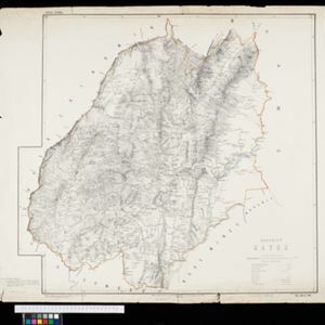
District Katha

event1894

location_onMyanmar

Map of the district of Katha in northern Burma (Myanmar) featuring the Irrawaddy River, and the Mu Valley State Railway (still partially under construction). High points are marked with their heights so they can be used for triangulation.

India shewing railways

event1894

location_onMyanmar

This map of India and Burma (Myanmar) shows railways, and railways sanctioned or under construction. Other maps in this series show the same area in different years of the 1890s.

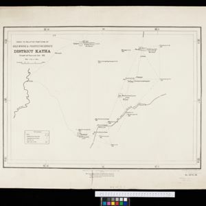
Index to relative positions of gold mining & prospecting grants: District Katha

event1893

location_onMyanmar

Map of the Katha district, Burma (Myanmar), with locations of gold mines and land allocated for prospecting. High points are marked and linked with lines to create a triangulation network. The Mu Valley State Railway and Mu River are shown.

India shewing railways

event1893

location_onMyanmar

This map of India and Burma (Myanmar) shows railways, and railways sanctioned or under construction. Other maps in this series show the same area in different years of the 1890s.

British Burma, Pegu division: With additions to railways up to 1891

event1891

location_onMyanmar

Topographical map of the Pegu Division of British Burma (Myanmar), spread over four sheets. In addition to mountains, forests, rivers and wetlands, rice fields, routes (road, railway, path, telegraph), villages and pagodas are marked.

close

  • Filter from 1881 to 1899

Current results range from 1881 to 1899