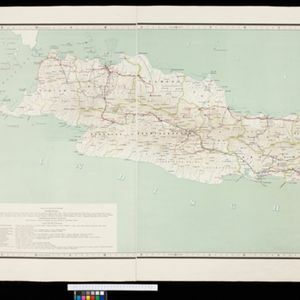
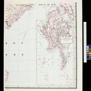
Search Results

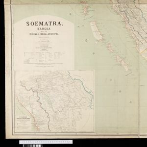
Soematra, Bangka en de Riouw-Lingga Archipel
1897
Malaysia, Indonesia, Singapore, Myanmar
Map of Sumatra and surrounding islands, with residencies—administrative districts—shown by coloured borders. There are inset maps of two residencies surrounding Padang, and of Groot-Atjeh (Aceh). Rivers, railways, roads and settlements are marked.

Trade Routes in the Far East
1894
Brunei, Cambodia, Indonesia, Laos, Malaysia, Myanmar, Philippines, Singapore, Thailand, Vietnam
Map of stream ship trade routes around Southeast Asia. Rivers, railways, submarine telegraph cables, lighthouses (fixed, revolving and flashing), graving docks and coaling stations are marked. An inset map shows a railway route from Britain to Asia.

New sketch map of the protected Malay State of Perak
1892
Malaysia
Map of state of Perak (Malay Peninsula) with a table of statistics: area, population, road/railway/river lengths, revenue, tin exports. Straits Settlements highlighted red. Someone has added handwritten travel times/distances by steamer/road/train.

Kaart der Bataklanden en van het eiland Nijas
1890
Indonesia
A large-scale map of northern Sumatra, spread over 16 sheets, and divided into administrative regions. The island of Nijas (Nias) is marked with the locations of local tribes, and there is a list of other maps referenced in producing the map.

Extension of the Electric Telegraph to Canton, Hong Kong, etc. from the Port of Rangoon
1860
Myanmar, Cambodia, Indonesia, Laos, Malaysia, Singapore, Thailand, Vietnam
Map of a proposed extension of a telegraph system from Rangoon (Yangon, Myanmar) to China. Includes current and projected railways, steam ship routes, and population figures for western China. From the British magazine ‘The Illustrated London News’.


