Search

Search Results

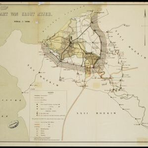
Kaart van Groot Atjeh

event1894

location_onIndonesia

This map of Groot Atjeh (Aceh, northern Sumatra) focuses on Dutch military posts in and around the city of Kota Radja (Banda Aceh) during the Aceh War. It shows new permanent and temporary posts being added over the period 1884 to 1893.

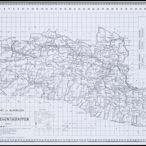
Residentie Preanger Regentschappen

event1894

location_onIndonesia

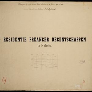
Large-scale topographic map of the residency of Preanger (West Java) spread over multiple sheets plus a cover sheet of the whole area. It is divided into regencies, departments and districts. Only nine sheets and the cover sheet are available.

Topographische kaart van de residentie Preanger regentschappen

event1894

location_onIndonesia

The residency of Preanger (Parahyangan), West Java, with plantations (coconut, coffee, tea, cinchona (‘kina’), betel, teakwood, bamboo) and crops (rice, sugarcane, alang-alang). Two inset maps: a triangulation map, and a map of land route distances.
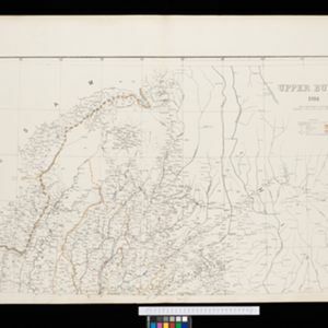
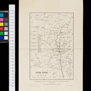
Upper Burma

event1894

location_onMyanmar, Thailand

Map of Upper Burma, showing the borders with Assam (India), China and Siam (Thailand), as well as internal administrative borders. Mountains with their heights, settlements, rivers and railways (completed, proposed and under construction) are shown.

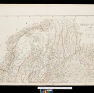
Upper Burma: With additions and corrections to January 1894

event1894

location_onMyanmar

Map of Upper Burma divided into Divisions and Districts, and featuring the Irrawaddy and Chindwin rivers, the Burma State Railway, and settlements including the city of Mandalay.

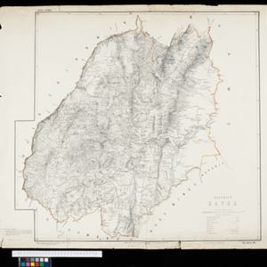
District Katha

event1894

location_onMyanmar

Map of the district of Katha in northern Burma (Myanmar) featuring the Irrawaddy River, and the Mu Valley State Railway (still partially under construction). High points are marked with their heights so they can be used for triangulation.

Map of the Johore Territory 1893

event1894

location_onMalaysia, Singapore

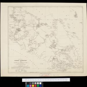
Map of the Malay state of Johor, and Singapore. The route of a proposed railway north from Johor Bahru is shown. Apart from rivers and mountains, much of the terrain is blank, with labels such as ‘Unexplored Hill Country’ or ‘Dense Jungle and Swamp’.

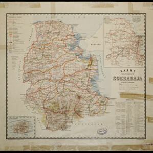
Kaart van der residentie Soerabaja

event1893

location_onIndonesia

A map of the residency of Soerabaja (East Java) divided into regencies, departments and districts. There are large fishing ponds around the coasts. An inset map shows distances between settlements by road, tracks and paths.

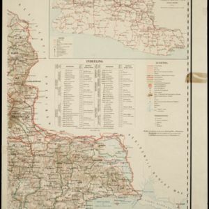
Overzichtskaart en bladwijzer van de residentie Kediri

event1893

location_onIndonesia

This overview map of the residency of Kediri (East Java, Indonesia) features roads, railways and paths. It is divided into five regencies, which are subdivided into 28 districts, which are numbered and listed. Major settlements are also marked.

Kaart van de residentie Preanger regentschappen

event1893

location_onIndonesia

A map of the residency of Preanger (West Java) spread over three sheets and divided into regencies, departments and districts. An inset map shows distances between cities, towns and villages by road, tracks and paths.

Kaart van Nederlandsch-Indie

event1893

location_onBrunei, Cambodia, Indonesia, Malaysia, Singapore, Thailand, Vietnam, East Timor, Philippines, Southeast Asia

Shipping routes are the focus of this map of the Dutch East Indies, indicated by red lines labelled with the name of the shipping company and the destinations. Parcel shipping routes are also shown. Inset maps feature railway lines too.

close