Search Results
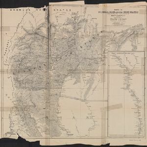
Parts of Burma, Siam and the Shan States
1886
Myanmar, Thailand
This map charts the journey of Holt S. Hallett as he searched for a suitable route for a railway to transport British goods from Burma to Thailand and China. He wrote the book ‘A Thousand Miles on an Elephant in the Shan States’ about his expedition.
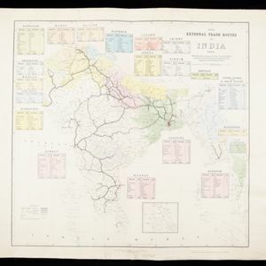
The external trade routes of India: with tables showing the amount and value of the principal exports and imports of the chief Indian sea ports and frontier states
1886
Myanmar, Thailand
This map of the trade routes of India includes Burma (Myanmar) and part of Siam (Thailand). The Rangoon and Irrawaddy Valley State Railway is marked. There are tables showing the values of imports and exports for each area, listed by produce type.
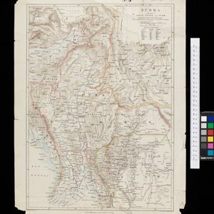
Burma: with parts of India, China, and Siam
1886
Myanmar, Laos, Thailand
Map of Burma labelled with indigenous peoples (uppercase red text) and products (salt, copper, tea, rubies, coal, rubber, petroleum, marble, jade, silver) of each area. It also marks two journeys by the explorer J. Annan Bryce, and proposed railways.
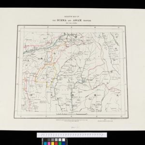
Skeleton map of the Burma and Assam frontier
1886
Myanmar
Map of Upper Burma showing the border with Assam (India) and China. The names of indigenous peoples are shown (‘Singphos’), along with the Irrawaddy River, railways and resources (‘Teak Forests’, mines (silver, copper, sulphur, rubies, coal, jade)).

Topographische kaart der residentie Probolinggo
c.1884-1885
Indonesia
Four-sheet topographic map of the residency of Probolinggo (East Java), with an inset map of distances between locations by rail and road, and a signal map. Crops, fishing ponds, sugar factories, and coffee and salt warehouses are shown.
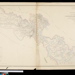
Plan topographique de l'arrondissement de Saigon
1885
Vietnam
Map of the district of Saigon (Ho Chi Minh City, Vietnam), based around the Fleuve Soirap (Soài Rạp River) as it winds its way down to the South China Sea. The city of Saigon is on its banks, surrounded by more rivers, roads, fields and villages.
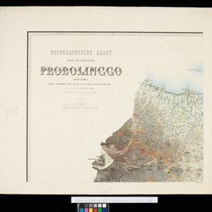
Topographische Kaart der residentie Probolinggo
1885
Indonesia
Four-sheet topographic map of the residency of Probolinggo (East Java), with an inset map of distances between locations by rail and road, and a signal map. Crops, fishing ponds, sugar factories, and coffee and salt warehouses are shown.
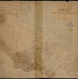
Kaart van Deli: Afdeeling der residentie Oostkusst van Sumatra
1884
Indonesia
Map of Deli on the east coast of Sumatra, dominated by the numerous rivers that flow from the mountains in the southwest to the Strait of Malacca. The railway lines around the city of Medan are shown in red, and flags indicate a military garrison.
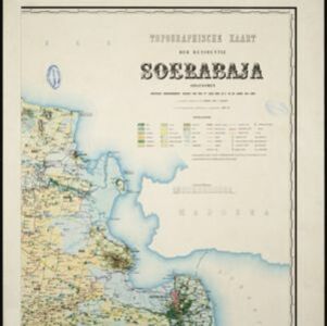
Topographische kaart der residentie Soerabaja
1884
Indonesia
The residency of Soerabaja, East Java, featuring crops (coffee, coconut, sugarcane, rice, alang-alang, bamboo) and fishing ponds. Three inset maps: a triangulation map; a map of distances between settlements by types of transport; Bawean Island.
- Filter from 1824 to 1900
- [remove]Railway/Tramway181
- River158
- Road125
- Path73
- Postal Route36
- Telegraph/Telephone36
- Canal21
- Bridge20

