Search

Search Results

Route chart to India and the East

event1895

location_onBrunei, Cambodia, East Timor, Indonesia, Laos, Malaysia, Myanmar, Philippines, Singapore, Southeast Asia, Thailand, Vietnam

Map of Asia featuring steamship routes—including around Southeast Asia—connecting ports such as Penang, Singapore, Batavia (Jakarta), Saigon, Bangkok, Rangun (Yangon), Manila, Macassar (Makassar) etc. There is also an inset map of Singapore.

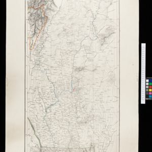
Upper Burma: Preliminary map 1887

event1887

location_onMyanmar

Map of Upper Burma, with the city of Mandalay highlighted in red in the centre, and featuring the Irrawaddy and Chindwin rivers, roads and settlements. Mountains, forests and mines (coal, silver, rubies, amber) are marked.

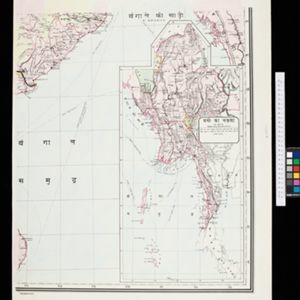
[Map of India]

event1887

location_onMyanmar

This four-sheet map of India—featuring an inset map of Burma (Myanmar) —was created for use in Indian schools by Devendranath Dhar, a self-taught Calcutta-based mapmaker. He sent it to the Royal Asiatic Society for advice on publication.

Military cantonments: town and suburbs of Akyab, 1853-54

event1866

location_onMyanmar

Plan of British military installations in the port town of Akyab, Burma (Sittwe, Myanmar), featuring piers on the Kolladyne River (Kaladan River), hospitals, a work house, mission house, hotel, bazaar, burial grounds, religious buildings etc.

close

  • Filter from 1866 to 1895

Current results range from 1866 to 1895