Search

Search Results

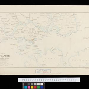
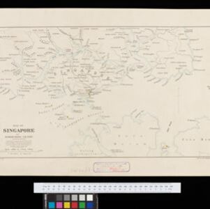
Map of Singapore and surrounding country

event1899

location_onMalaysia, Singapore, Indonesia

Map of Singapore Island, including the surrounding islands and straits, and southern Johor. Lighthouses are marked in red and yellow, including Horsburgh Lighthouse on Pedra Branca, Raffles Lighthouse and Fort Canning Lighthouse.

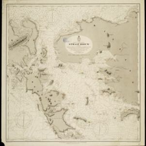
Riouw archipel: Straat Riouw

event1898

location_onIndonesia

Navigation map of the Riau Strait between Batam, Bintan and Rempang (Riau Archipelago). Bathymetry (sea depth), current and tide data, reefs, shoals and other obstructions are marked. A second map features improvements to part of the original map.

Map of Singapore and surrounding country

event1896

location_onSingapore, Malaysia, Indonesia

Map of Singapore Island, including the surrounding islands and straits, and southern Johor. Lighthouses are marked in red and yellow, including Horsburgh Lighthouse on Pedra Branca, Raffles Lighthouse and Fort Canning Lighthouse.
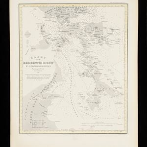
Kaart van de Residentie Riouw en Onderhoorigheden

event1860

location_onIndonesia, Singapore, Malaysia

Map of the Dutch colonial administrative region (residency) of Riouw (Riau) focusing on the islands and sea passages, with bathymetry (sea depth) marked. (From ‘Algemeene Atlas van Nederlandsche Indie [General Atlas of the Dutch East Indies]’.)

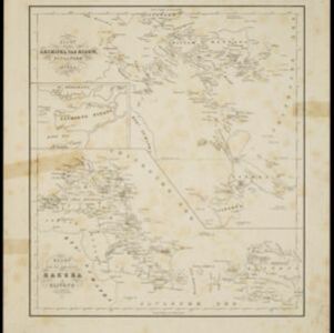
Kaart van den archipel van Riouw, Singapore en Lingga / Kaart van de eilanden Bangka en Blitong

event1857

location_onIndonesia, Singapore

Two maps featuring many of the islands between the Malay Peninsula, Sumatra and Borneo. In the top map, Batam, Bintan, Lingga and many of the smaller Riau Islands. In the bottom map, Bangka and Belitung on the east coast of Sumatra.

Algemeene Kaart van Nederlandsch Oostindie

event1842

location_onEast Timor, Indonesia, Malaysia, Singapore

This detailed map of the Dutch East Indies in the mid-19th century is spread over eight sheets, plus a cover sheet showing the whole area. There are numerous inset maps of islands, bays, cities etc.

Algemeene kaart van Nederlandsch Oostindie

eventc.1839-1855

location_onEast Timor, Indonesia, Malaysia, Singapore

This map of the Dutch East Indies is spread over eight sheets, with a hand-drawn cover sheet showing the whole area. There are numerous inset maps of islands, bays, cities etc. Two of the inset maps have a replacement map pasted over them.

close

  • Filter from 1839 to 1899

Current results range from 1839 to 1899