Search

Search Results

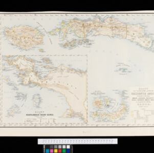
Kaart van 't noordwestelijke gedeelte der Residentie Ambon

event1898

location_onIndonesia

Map of the residency of Ambon in the Maluku Islands, divided by colour-coded administrative borders. There are inset maps the Banda Islands—including the nutmeg plantations and the town of Neira with its fort and hospital—and of Dutch New Guinea.

Kaart der Molukken

event1898

location_onIndonesia, East Timor

Map of the Moluccas (Maluku Islands) divided into the residencies of Ternate (orange borders) and Ambon (green borders). Many place names are in Dutch and Malay, and there is an inset map of the city of Ambon. Timor is marked as Portuguese territory.

Route chart to India and the East

event1895

location_onBrunei, Cambodia, East Timor, Indonesia, Laos, Malaysia, Myanmar, Philippines, Singapore, Southeast Asia, Thailand, Vietnam

Map of Asia featuring steamship routes—including around Southeast Asia—connecting ports such as Penang, Singapore, Batavia (Jakarta), Saigon, Bangkok, Rangun (Yangon), Manila, Macassar (Makassar) etc. There is also an inset map of Singapore.

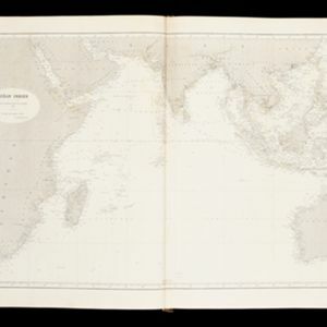
Océan Indien

event1889

location_onBrunei, Cambodia, East Timor, Indonesia, Laos, Malaysia, Myanmar, Philippines, Singapore, Southeast Asia, Thailand, Vietnam

A nautical chart of the Indian Ocean showing bathymetry (sea depth), including in great detail around the seas and straits of Southeast Asia.

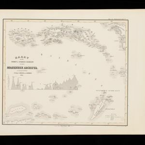
Kaart van het Midden-en Zuidelyk Gedeelte van den Molukschen Archipel

event1854

location_onIndonesia, East Timor

Map of some of the Maluku islands around the Banda Sea, colour-coded by their administrative region, and with an elevation showing heights of mountains. (From ‘Algemeene Atlas van Nederlandsche Indie [General Atlas of the Dutch East Indies]’.)

Algemeene Atlas van Nederlandsche Indie

eventc.1853-1862

location_onIndonesia

Atlas featuring over 60 detailed maps of the Dutch East Indies: 24 maps cover Java; the remainder cover the rest of the Dutch East Indies. There are three index maps. (All the maps in this atlas are also presented separately on this platform.)

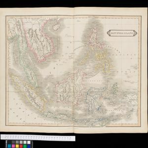
East India Islands

eventc.1844-1846

location_onBrunei, Cambodia, East Timor, Indonesia, Laos, Malaysia, Myanmar, Philippines, Singapore, Southeast Asia, Thailand, Vietnam

From ‘Lizars' Edinburgh Geographical General Atlas’, this mid-19th century map was based on an earlier map by the English cartographer John Cary. It highlights the mountain ranges and rivers of Southeast Asia, and also features many place names.

Algemeene Kaart van Nederlandsch Oostindie

event1842

location_onEast Timor, Indonesia, Malaysia, Singapore

This detailed map of the Dutch East Indies in the mid-19th century is spread over eight sheets, plus a cover sheet showing the whole area. There are numerous inset maps of islands, bays, cities etc.

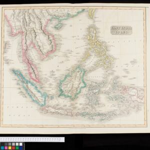
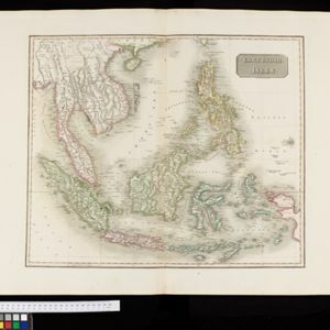
East India Isles

event1829

location_onBrunei, Cambodia, East Timor, Indonesia, Laos, Malaysia, Myanmar, Vietnam, Thailand, Southeast Asia, Singapore, Philippines

From ‘Thomson’s New General Atlas’, this mid-19th century map was based on an earlier map by the English cartographer John Cary. It highlights the mountain ranges and rivers of Southeast Asia, and also features many place names.

East India Isles

event1817

location_onBrunei, Cambodia, East Timor, Indonesia, Laos, Malaysia, Myanmar, Vietnam, Thailand, Southeast Asia, Singapore, Philippines

This early 19th century map was based on an earlier map by the English cartographer John Cary. It highlights the mountain ranges and rivers of Southeast Asia, and also features many place names of cities, towns and islands.

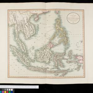
A new map of the East India Isles

event1801

location_onBrunei, Cambodia, East Timor, Indonesia, Laos, Malaysia, Myanmar, Vietnam, Thailand, Southeast Asia, Singapore, Philippines

An early 19th century map by the English cartographer John Cary, highlighting the mountain ranges and rivers of Southeast Asia. The map also features many place names of cities, towns and islands.

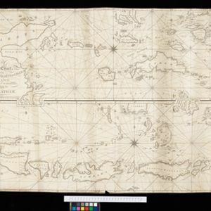
A new chart of the eastern straits to China drawn from the best authorities

event1800

location_onIndonesia

Two maps of routes around the Flores and Banda seas—through the straits between the Lesser Sunda Islands and the Maluku Islands—towards China. Includes a rhumbline network—a web of lines to help plot routes—bathymetry (sea depth), shoals and reefs.

close

  • Filter from 1680 to 1898

Current results range from 1680 to 1898