eventc.1900
location_onMalaysia, Brunei, Indonesia, Singapore
location_onMyanmar, Malaysia, Singapore, Thailand, Laos, Cambodia, Vietnam
event1899
location_onBrunei, Cambodia, East Timor, Indonesia, Laos, Malaysia, Myanmar, Philippines, Singapore, Southeast Asia, Thailand, Vietnam
location_onMalaysia, Singapore, Indonesia
event1898
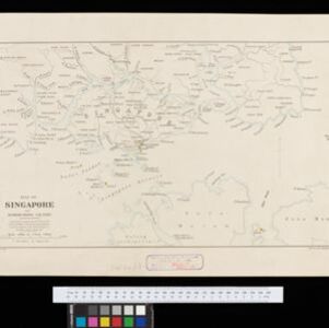
location_onSingapore
location_onMalaysia, Singapore, Thailand
event1897
location_onIndonesia, Malaysia, Singapore, Thailand
location_onMalaysia, Indonesia, Singapore, Myanmar
event1896
location_onSingapore, Malaysia, Indonesia
event1895
event1894
location_onMalaysia, Singapore
location_onBrunei, Cambodia, Indonesia, Laos, Malaysia, Myanmar, Philippines, Singapore, Thailand, Vietnam
Current results range from 1630 to 1900